Description:
Mount Yeranos (1829 meters) is the highest peak of Yeranos mountain range, one of the south-western branches Geghama mountain range. The north-western and northern slopes are steep and sharp, while the southern and eastern slopes are not so sharp. Mount Yeranos has a semi-desert, dry mountain steppe landscape. The north-western slopes of Yeranos mountain range are included in Khosrov reserve.
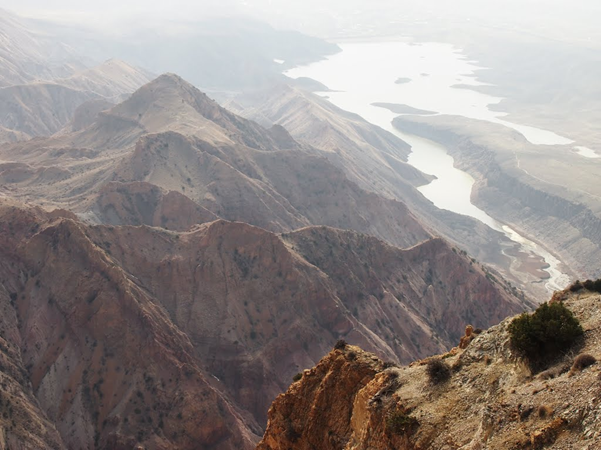
Hiking to Mount Yeranos takes around 25 kilometers, starting from Garni Village, through the gorge of Azat River. The trail passes Lanjazat village, near to the dam of Azat Reservoir, while promising beautiful views of Mount Ararat, Yerakh mountain range on the east, Voghjaberd Mountain Range on the west. Natural monument "Sphinx" is also on the way to Mount Yeranos.
Let's note that Yeranos Mountain range stretches along the left bank of the river Azat to Ararat plateau, 23 km long and 3-9 km wide.
Features:
| Location: | Kotayk; Garni village |
| Distance from Yerevan: | 40 minutes |
| Start point: | Garni village |
| Duration: | 25 km; 5-7 hours forth |
| Altitude: | 1829 meters |
| Type: | Folded-fractured |
| Difficulty level: | 3 (on 1-10 scale) |
| Dangerous passages: | none |
| Accompany of guide(s) is recommended! |
Accommodation:
-
Photo album:
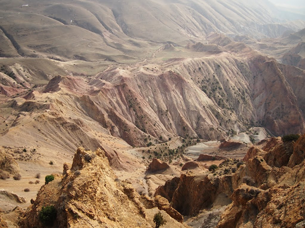
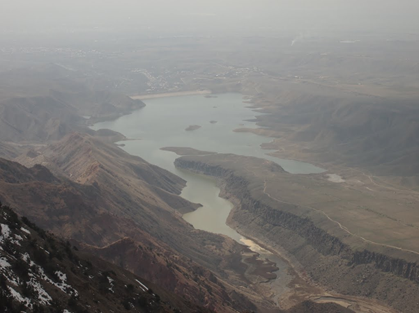
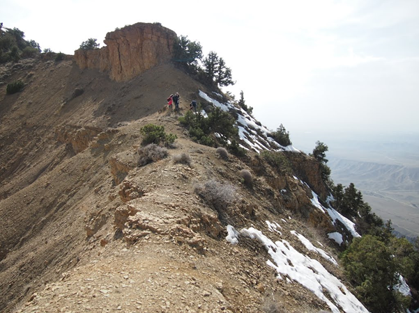
Photo credit: Misc
Information provided by: Hikers.am