Description:
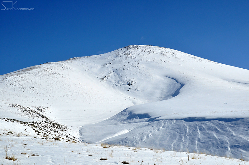
Located in the north-east of Kotayk region, Mt Hatis is a 2528-meters high conical hill with volcanic origin.
Slopes are steep especially in the upper altitudes, with rocky ledges and ravines. Mountain massif is covered with meadows and prairie vegetation. The southern slopes of the Mount give birth to a group of springs (7, 3 - 9 °C), called Qarasunakn. These sources are classified as high quality drinking water.
There are at least two common ascending options; a relatively moderate trail starting from Hatis village and the other one starting from St. Poghos-Petros Monastery, with steep slopes.
Let's note that there is an underground rescue shelter on the Summit.
Mt Hatis is an interesting destination for ski touring and paragliding.
Features:
| Location: | Kotayk; Hatis village |
| Distance from Yerevan: | 30 minutes (20 km) |
| Start point: | Hatis village, St. Poghos-Petros monastery or Kotyak village |
| Duration: | check out ascending options |
| Altitude: | 2528 meters |
| Type: | Volcanic cone |
| Difficulty level: | 3 (on 1-10 scale) |
| Dangerous passages: | none |
| Accompany of guide(s) is prefered! |
Ascending options:
Option 1- Start point: Hatis village
Duration: 2,5 - 3 hours; Distance: 5,5 km; Altitude gain: ~ 1000 meters
Option 2- Start point: St. Poghos-Petros Monastery
Duration: 3 hours; Distance: 6 km
Accommodation:
- Camping on the slopes;
- Camping around St. Poghos-Petros Monastery.
Photo album:
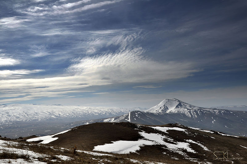
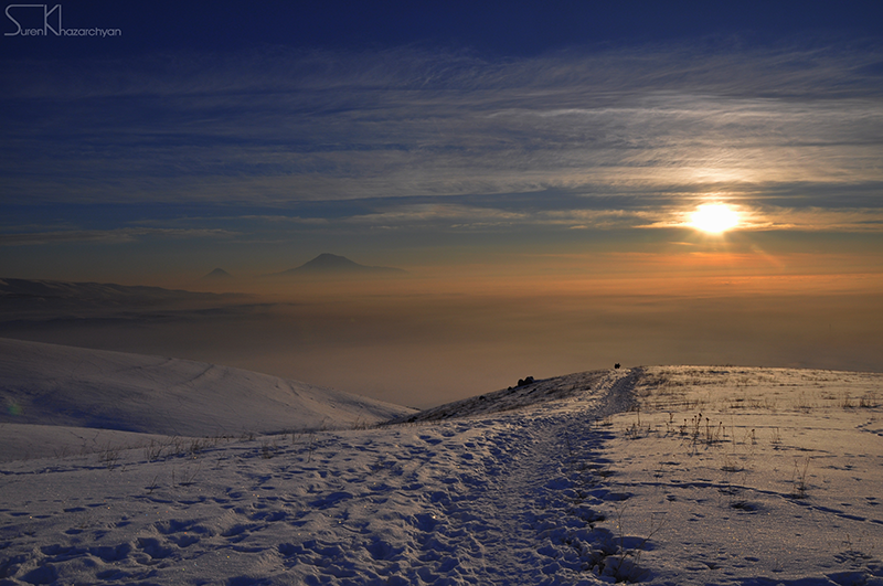
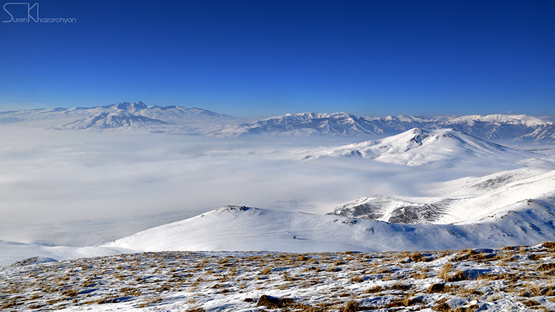


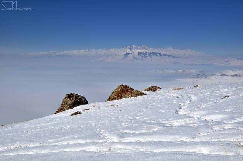
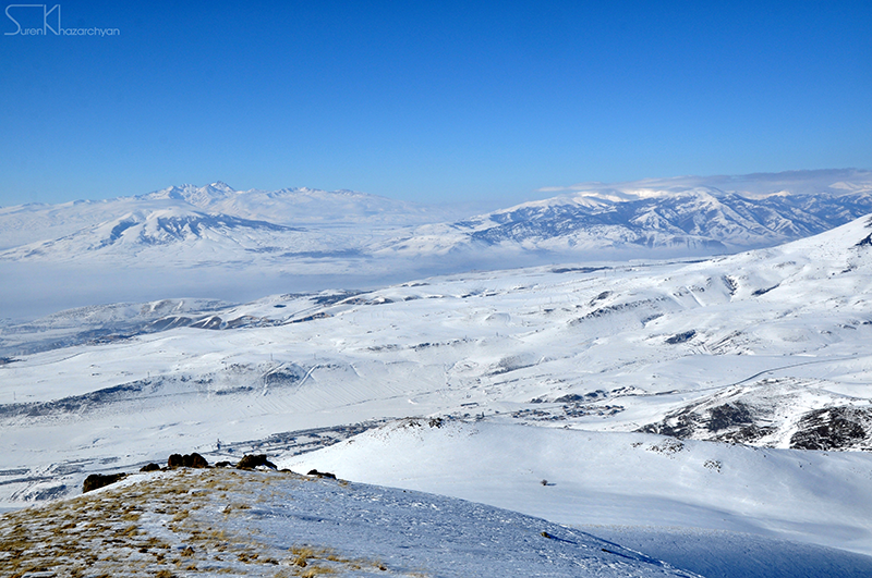
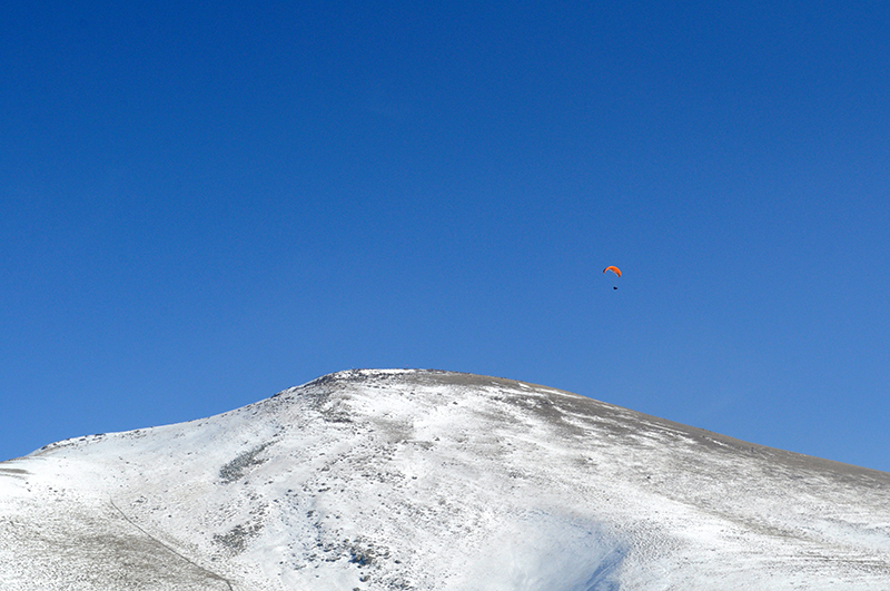
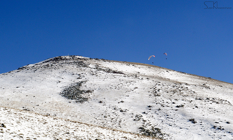
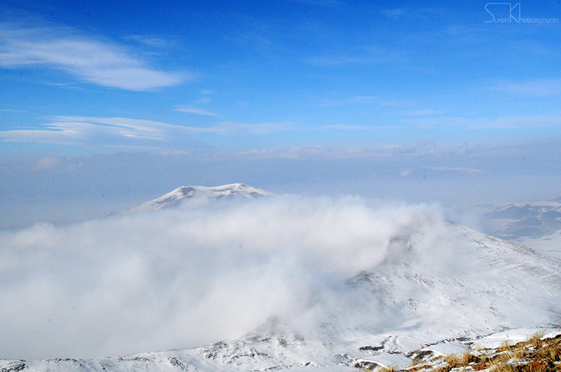
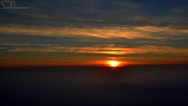
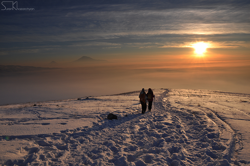
Photo credit: Suren Khazarchyan (Hikers.am)
Information provided by: Ani Avagyan (Hikers.am)