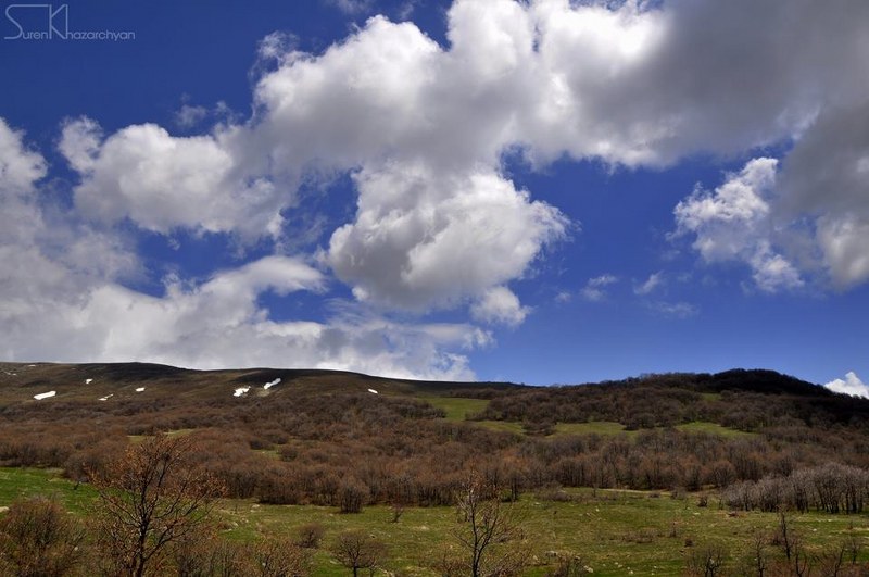
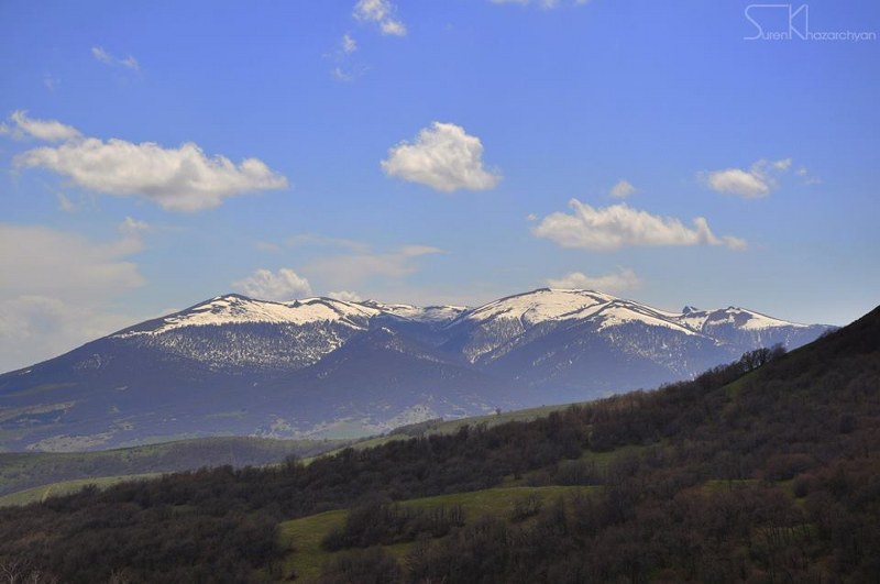
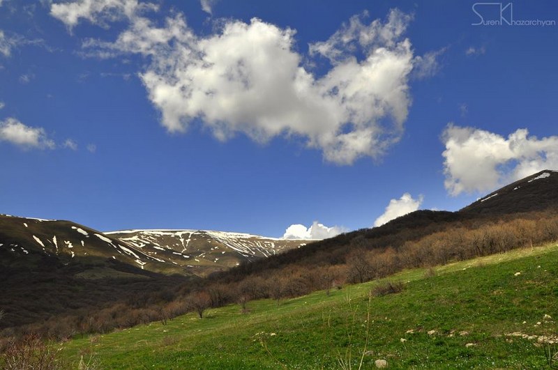
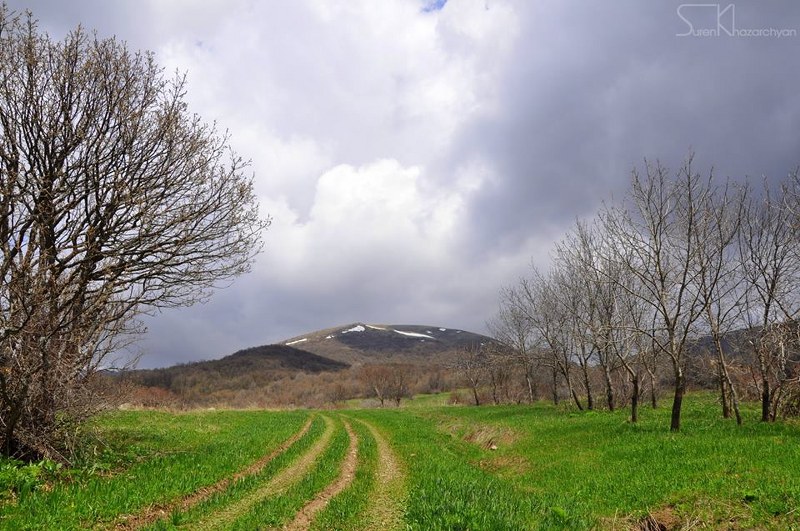
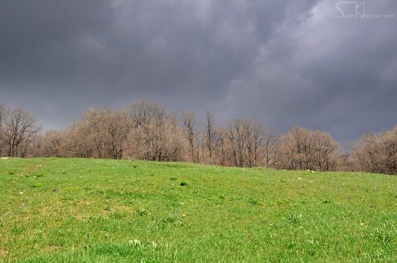
The trail starts from Buzhakan village (Kotayk Province) heading to the 6-7th century Teghenyats Monastery while passing through green meadows and forest-covered slopes of Teghenis Mountain. The trail is moderate and suitable for family hikes.
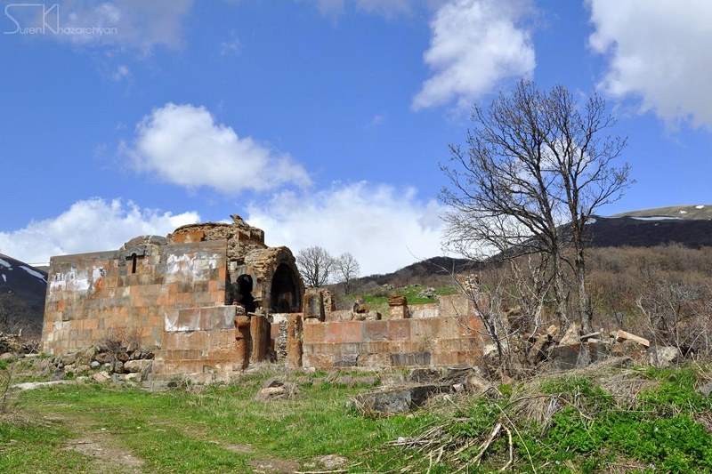
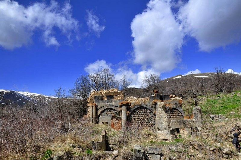
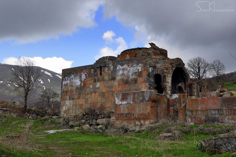
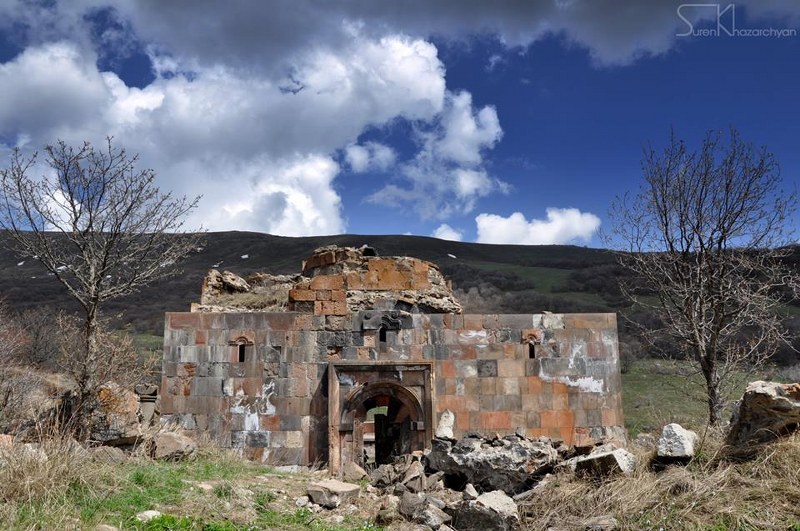
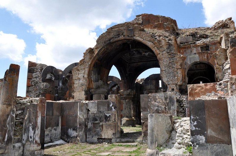
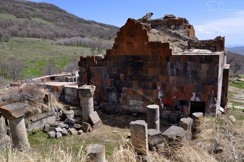
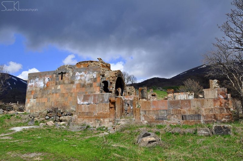
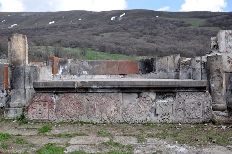
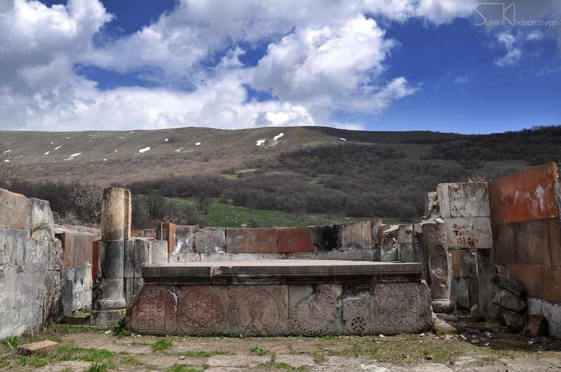
The Complex includes the ruins of the ancient small transept St. Astvatsatsin church dated 6-7th centuries discovered during excavations, and also the ruins of Katoghike church dated 12th century, which is located about 30 meters from St. Astvatsatsin church.
You will find sources of drinking water on this trail;
The trail is appropriate for hiking, mountain biking and jeeping. In winter time, snowshoeing and ski touring is the best choice to get through this trail.
How to get there?
The trail starts at the end of Buzhakan village. To get to the Village you will have to drive on H4 road for about 45 minutes from Yerevan (around 36 km).
Trail characteristics
2.5 km / 1.6 mi
1 hour (hiking)
min: 1892 m, max: 2096m, gain: 204m
Hiking, mountain biking, jeeping, horse riding, snowshoeing, ski touring
5 marking signs (posts)
What to do?
The trail is appropriate for hiking, mountain biking and jeeping. In winter time, snowshoeing and ski touring is the best choice to get through this trail.
What to see around?
Within and in the vicinity of the trail you will come across with cultural monuments & attractions listed below:
- The ruins of St. Astvatsatsin church dated 6-7th centuries
- The ruins of Katoghike church dated 12th century
Where to stay?
Regardless of the length of the trail, I worth to camp around for an overnight stay. There are several places on the trail and also next to the Monastery where you can set up your camp. In case you hike up to the Summit of Mt. Teghenis, you can also set up your camp on the Summit, or you can spend the night in the meteo-station in case of emergency.
Nearby destinations
There are several destinations and hiking trails in the region; it worth you spend several days in the region.
- Mt. Ara (Ara Ler) – 2577 meters
- St. Hovhannavank to St. Saghmosavank trail
- Kasakh River Gorge
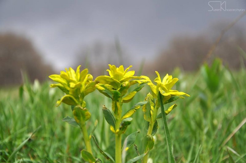
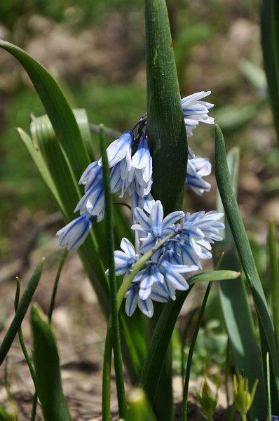
Flora & Fauna
Elevation profile
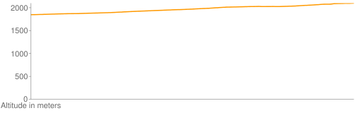
Photo album


GPS track
Follow the GPS track of this trail via the below map; however, keep in mind to consult with local guides before heading to the trail.
Credits
Trail marked by AHA Armenia
Photo credit: Suren Khazarchian
Information generated by: Hikers.am