Skitouring

Ski in Armenian Highland almost 6 months of the year

In addition to ski resorts operating for about 4 months per year, there are dozens of destinations for ski touring all around Armenia, where the snow is preserved until the end of May. 
Several ski touring teams and individual guides are committed and equipped to make your dream come true! 

For your own safety, consult with local guides and plan your skitour accordingly.

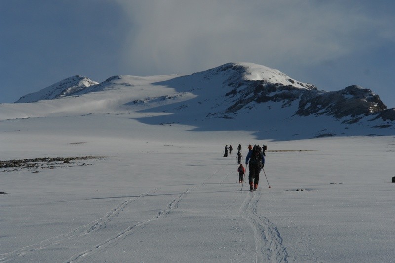
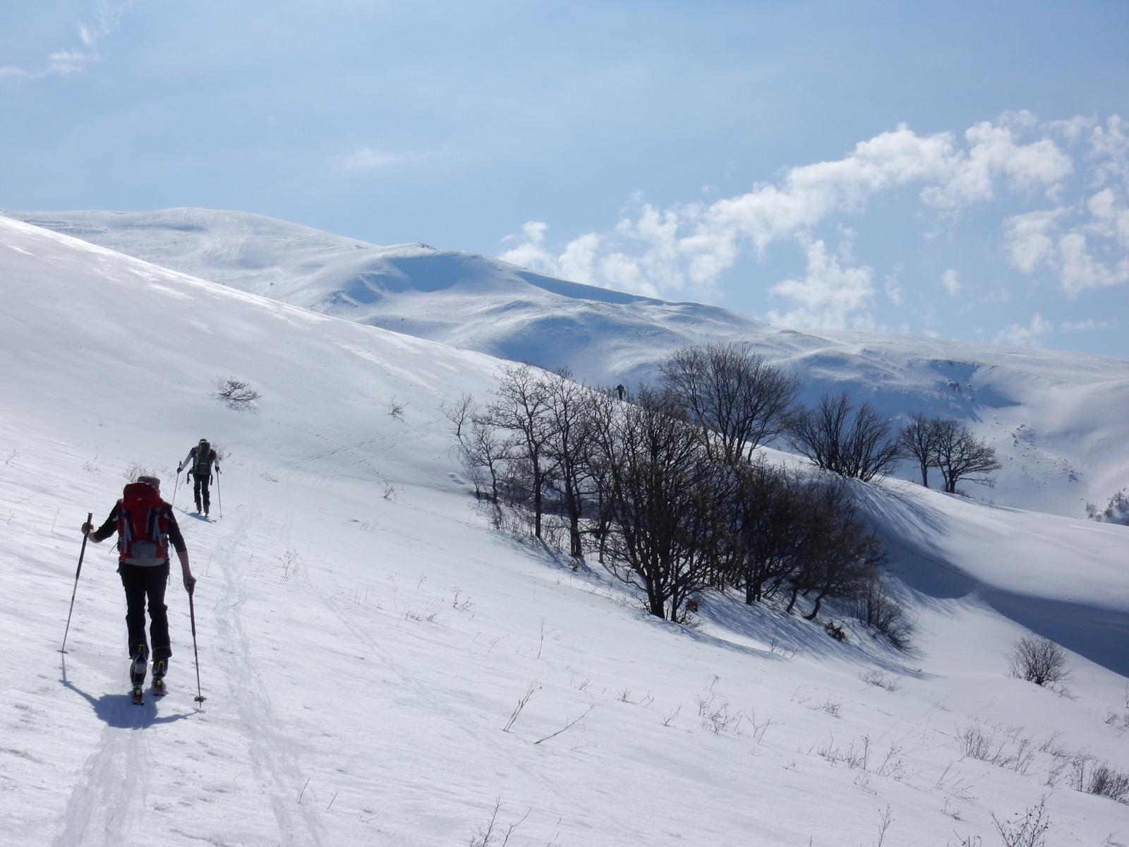
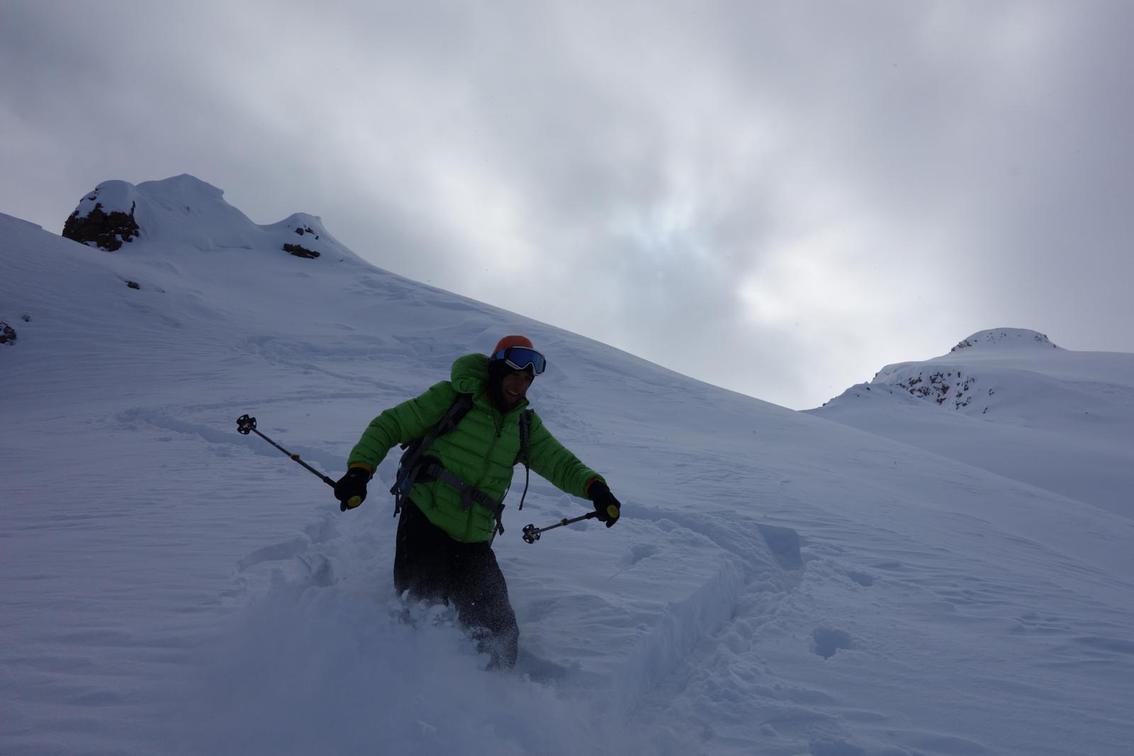
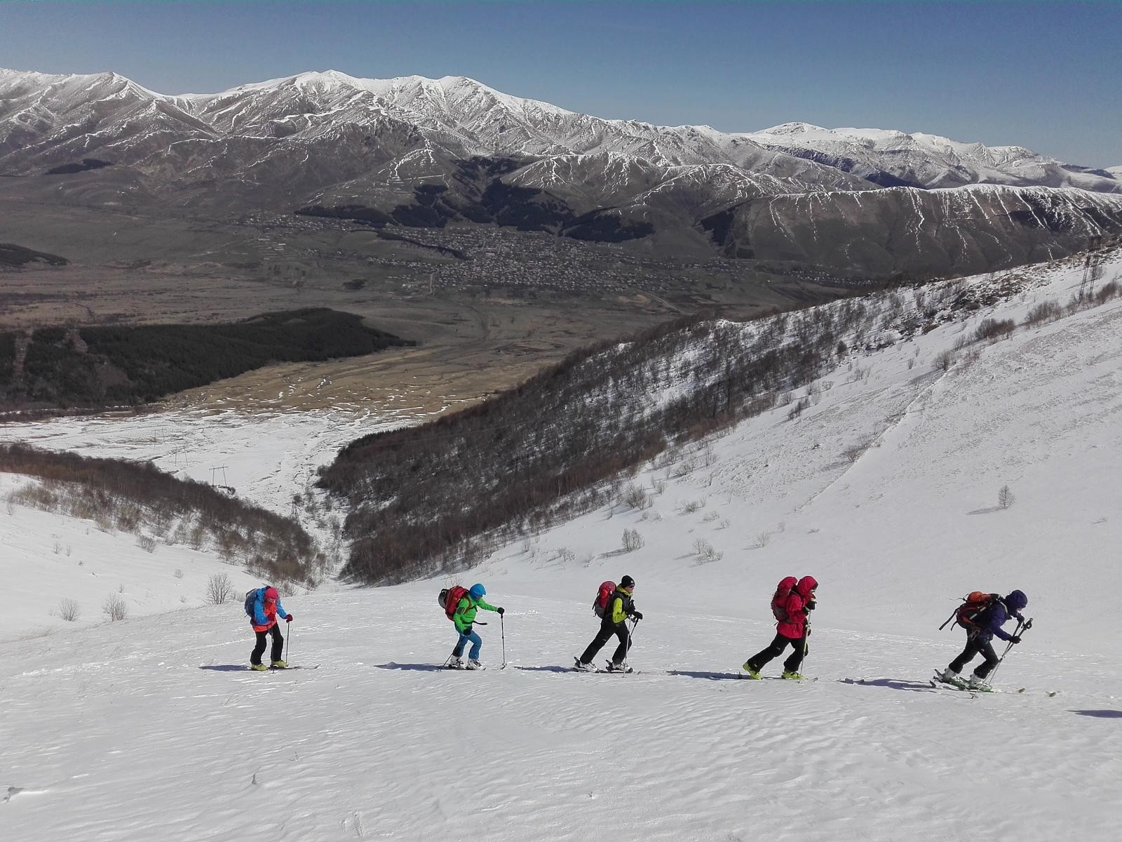
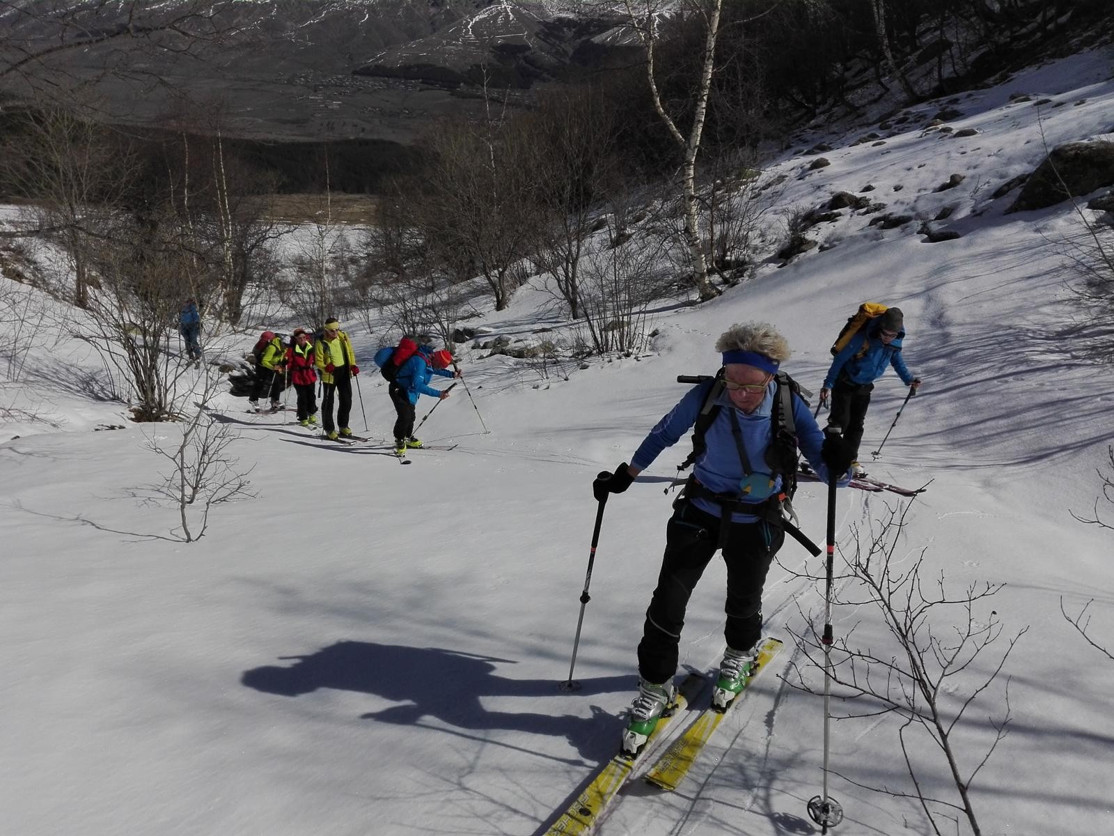
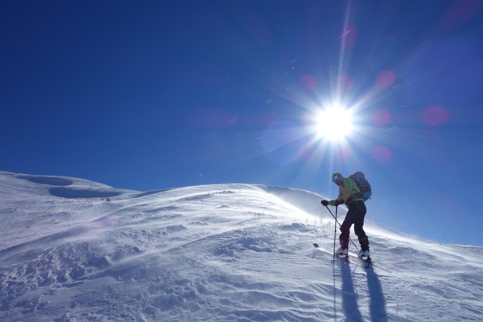
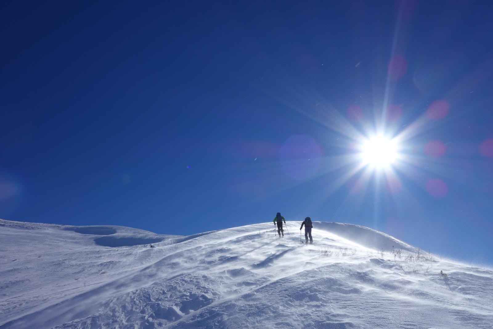
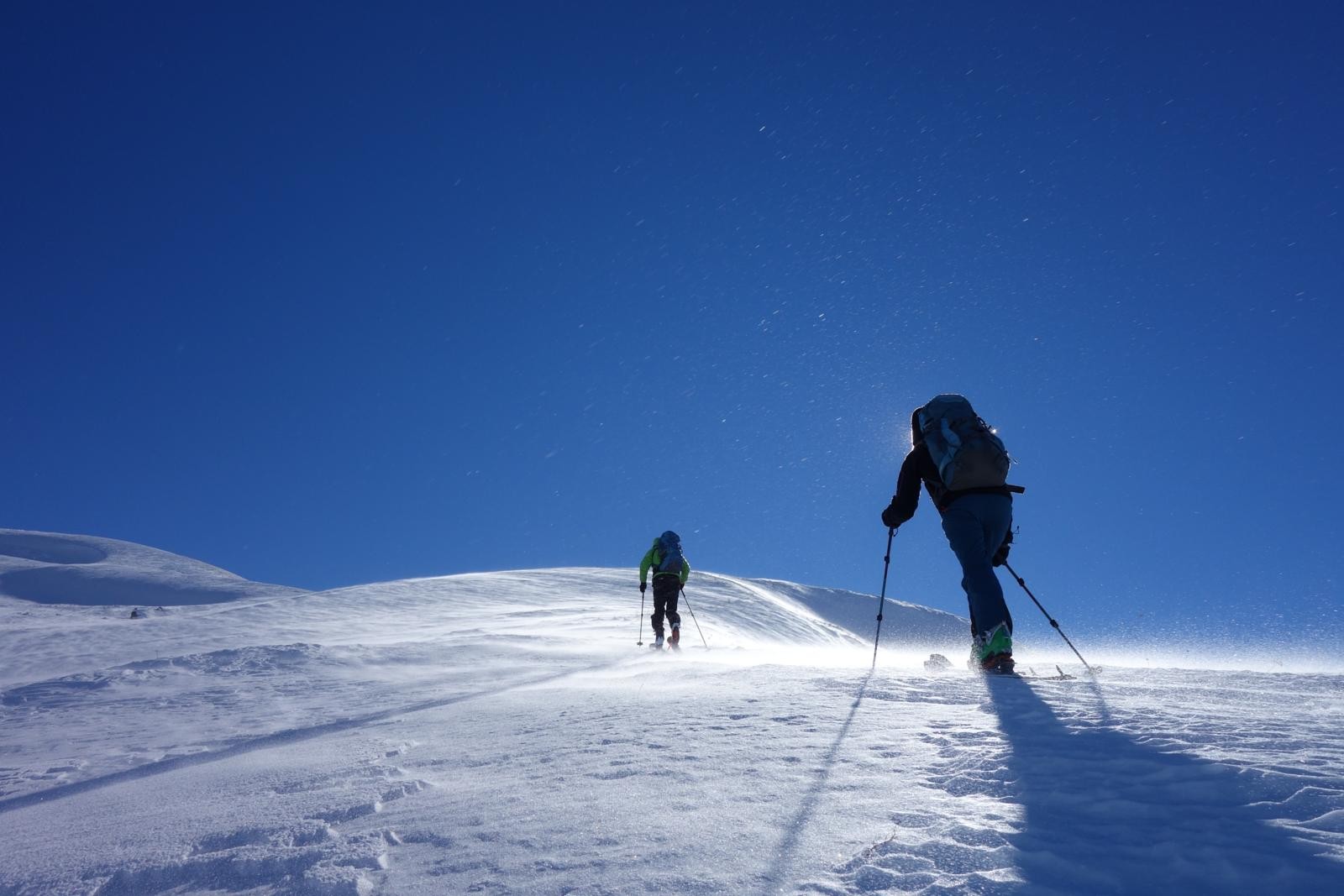
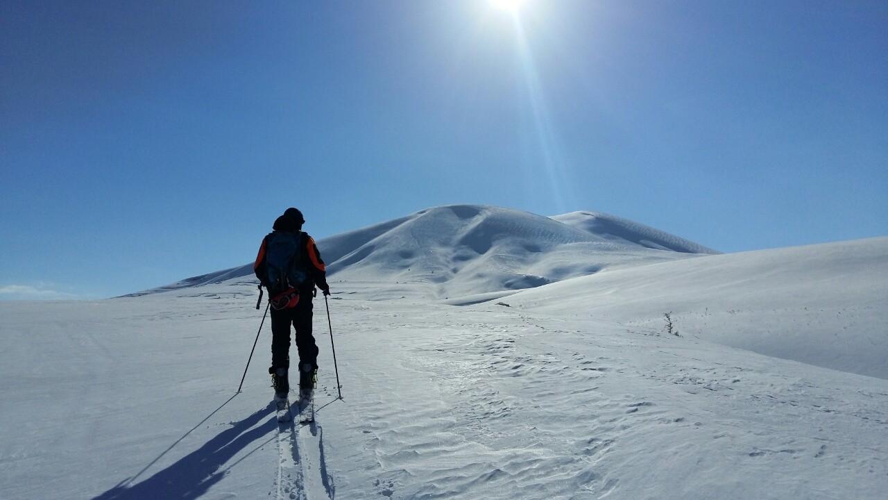
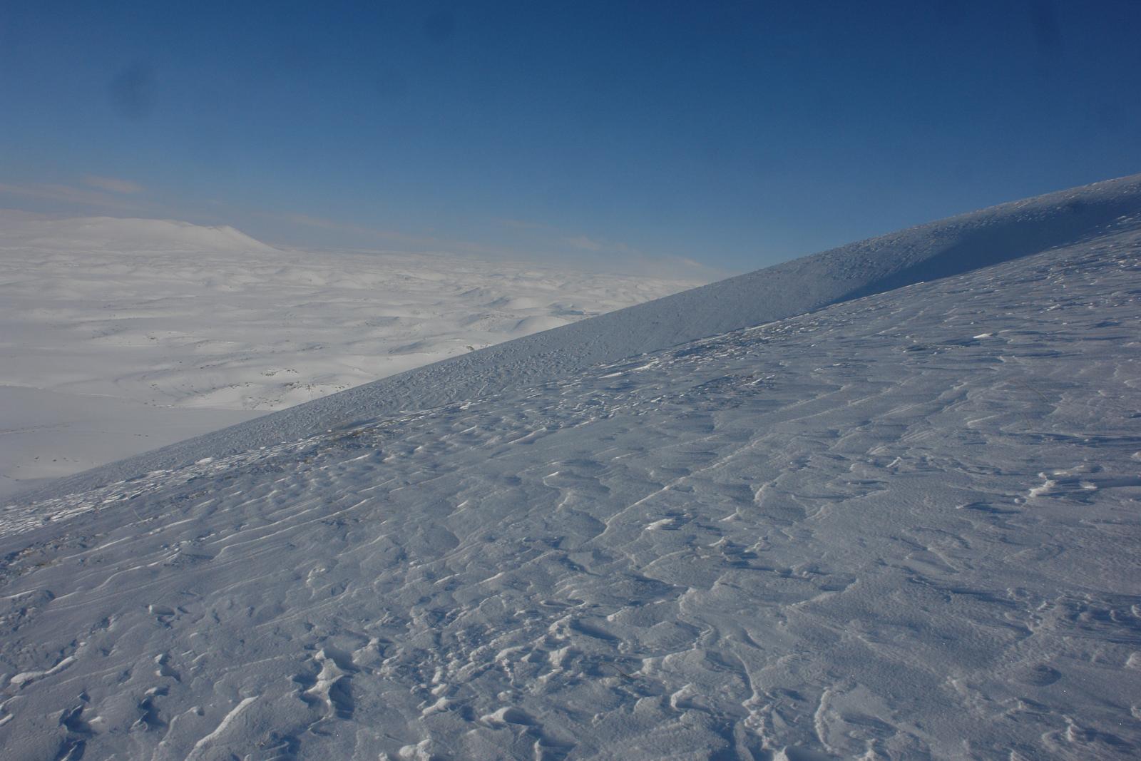
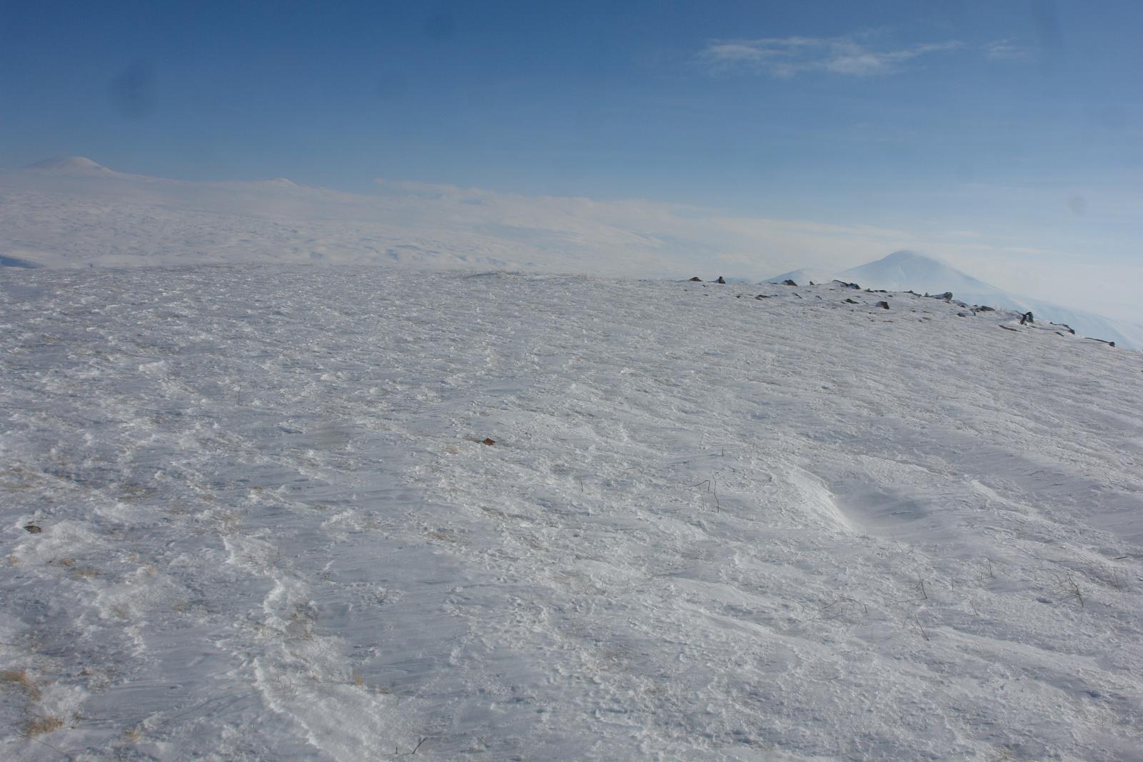
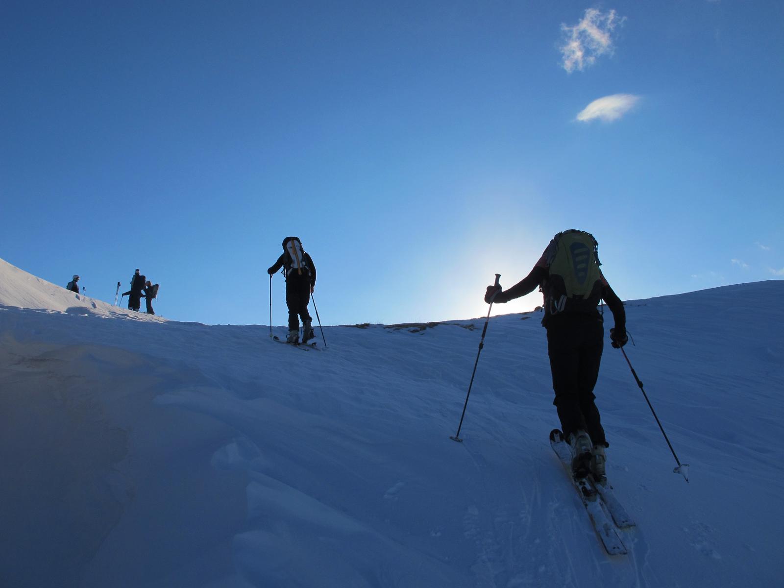
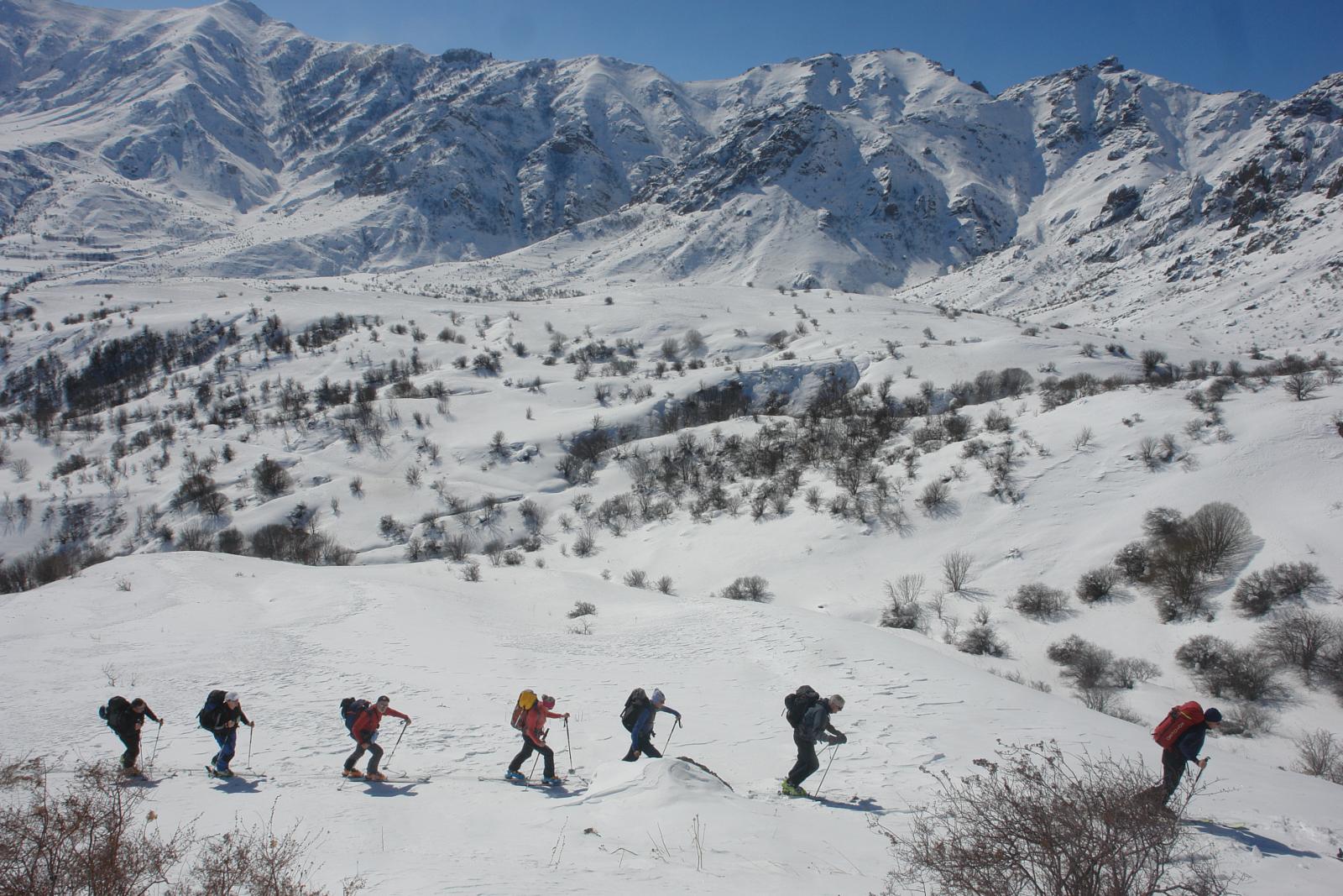
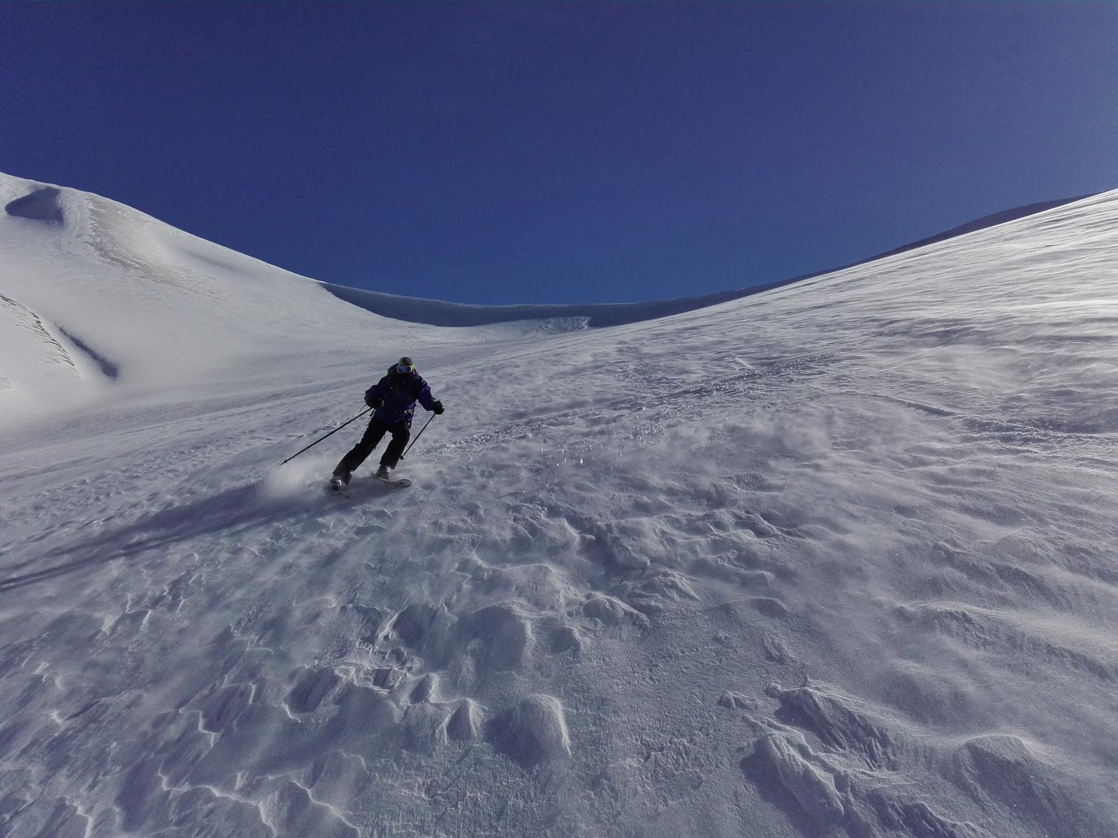
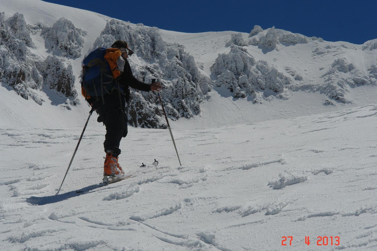
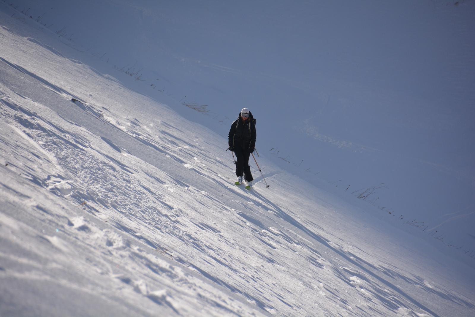
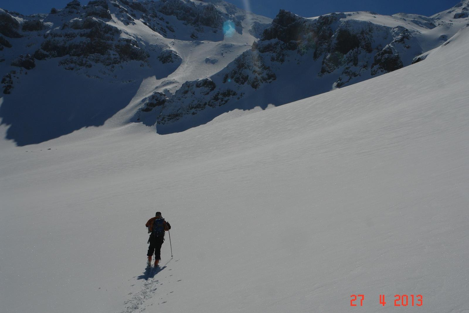
The ski trail is located on the highest, Northern Summit (4,090m) of Mount Aragats in Aragatsotn province of Armenia. The ski trail starts from Geghadzor village where you can stay for an overnight. You can take off-road vehicles (Jeep or Vilis) from the Village to take you to the start point. The ski run should be started early in the morning, as the trail usually takes 8-10 hours. We recommend taking the trail in spring (March, April, May) as the difficulties of reaching the North Summit of Aragats are less during this time of the year. The territory is mostly covered with an abundance of powdered snow. Be ready for a long descent, soft snow and marvelous sights.

Monument Description

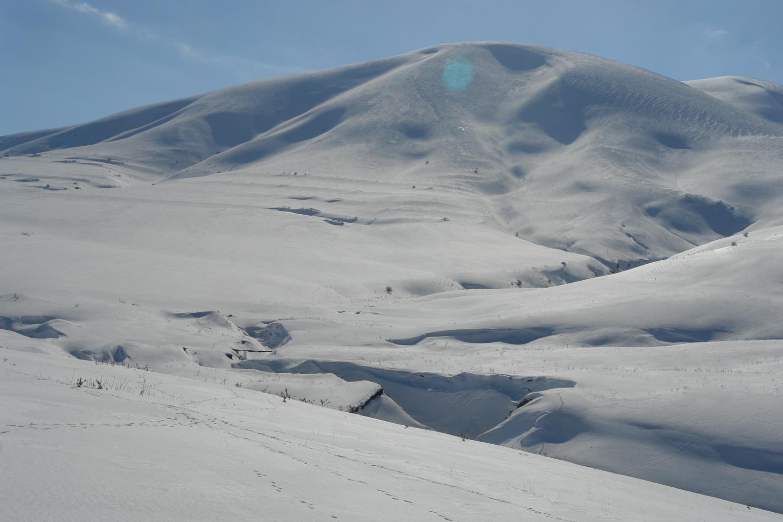
Mount Aragats is an isolated four-peaked volcano massif of about 200km in circumference covering 4000 sq.m, situated in both the Aragatsotn and Shirak provinces. It has a gigantic 400m-deep crater, 3km in diameter, and 4 peaks. The Northern summit (4090 m) is the highest Summit in the Republic of Armenia.  The West Summit is the second with 3995.3m and is followed by the East - 3908.2m and South Summits- 3887.8m.      

Where to stay?

It is recommended to get to the Village of Geghadzor a day before the tour. You can stay for an overnight in one of the guest houses in the Village. For more information check out our database of B&B’s.

Nearby destinations

Do not miss visiting the below destinations:

  • Hovhannavank Monastery (5th-13th centuries) in Ohanavan village in Aragatsotn province
  • Saghmosavank Monastery (13th century) in Saghmosavan village in Aragatsotn province
  • The Armenian Alphabet Monument after M. Mashtots near the village of Artashavan

Trail characteristics

  • Best period: February - May
  • Ski trail length: 22 km
  • Ski run: 10 hours
  • Total ascent:1473m
  • Total descent: 1500m
  • Max elevation: 3,890m
  • Min elevation: 2,200m

How to get to the Trail

Take a taxi (or personal car) to get to Geghadzor Village.

  • Distance from Yerevan: 81 km
  • Duration: 1 hour 30 minutes on car
  • Cost: 8,500 - 9,000 AMD

Fauna

While descending down the route there is a chance to see many traces of animals: wolves, foxes, wild rabbits and dogs in rural areas. 

Safety precautions:

Mobile connection of “UCOM” and “Viva Cell-MTS” service providers is available not only in the Village but also up to the Mountain. In case of incidents, rescue services function in Armenia with 24/7 principle; call 911. Beware of dogs in villages.

Photo album 

GPS track

Follow the GPS track of this trail via the below map; however, keep in mind to consult with local guides before heading to the trail.

Credits:

State Tourism Committee of RA

Mount Ampasar is located in Pambak mountain range, stretching to the north in the central part of Kotayk Province. Ampasar ski track starts at a 3050m altitude in Lori Province. Best time to ski on Ampasar track is in January, February, March, and even in April. The nearest villages neighboring the track are the Margahovit and Fioletovo of Lori Province. The mountain is surrounded by small and medium hills.

The abundant snow and the beauty of the other pinnacles of Pambak mountain range opens fascinating views while skiing down the track; Mount Tezh (Tezh Ler), Aragats & other pinnacles of Pambak mountain range are also visible from Ampasar.

Monument Description

Pambak mountain range begins from Jajur mountain pass (1952 m height) and stretches to the south-east, up to Sevan Mountain pass (2114 m height). Pambak is the longest mountain range of Armenia with the length of 106 km. The highest peak is Mount Tezh with 3101 m height, which is located in the central part; Ampasar (3053 m height), Gomassar (2885 m height), Kuzararasar (2891 m height), Mount Kamar (2738 m height), Tsilkar (2558 m height), Harsnakar (2483 m height) are other summits of Pambak mountain range. The main sidings of the mountain range are Mount Tsaghkunyats and Mount Arjanots.

Where to stay?

You might stay at B&B’s and guesthouses in the region or camp around the Monastery. For more information check out our database of B&B’s.

Nearby destinations

Do not miss visiting the below destinations:

  • Haghartsin Monastery
  • Goshavank Monastery
  • Gosh Lake

Trail characteristics

  • Best period: January-March
  • Ski trail length: 10.3 km
  • Ski run: 5 hours 53 minutes
  • Total ascent: 1,123m
  • Total descent: 1,123m
  • Max elevation: 3,057m
  • Min elevation: 1,860m

How to get to the Trail

Take a taxi (or personal car) to get to Margahovit Village.

  • Distance from Yerevan: 117 km
  • Duration: 1 hour 54 minutes on car
  • Cost: 11,700-12,000 AMD

Fauna

There is a chance to meet wolves, foxes, rabbits and sometime single bears.

Safety precautions:

Mobile connection of “UCOM” and “Viva Cell-MTS” service providers is available in some places from Margahovit village to Ampasar. In case of incidents, rescue services function in Armenia with 24/7 principle; call 911. Beware of dogs in villages.

Photo album 

GPS track

Follow the GPS track of this trail via the below map; however, keep in mind to consult with local guides before heading to the trail.

Powered by Wikiloc

Credits:

State Tourism Committee of RA

Mount Artavaz ski track is located in Kotayk Province, 73 km from Yerevan. The best time to ski on the track is in January, February, March and even mid-April. The ski run starts from the last residence of Meghradzor town. The mountain is also interesting for hiking. The water reservoir of Hankavan is also visible from the Mountain. 

The ski run of Mount Artavaz passes through the canyon, along Marmarik River, and then rises up sharply. This section is dangerous, therefore, it is advised to follow the trail without going off the road. The most beautiful scenes are opened from the Summit. 

Monument Description

Mount Artavaz is located in the outskirts of Artavaz Village on Pambak Mountain range (2929 m), with a seldom semi-round shape.   

Where to stay?

You might stay at B&B’s and guesthouses in the region or camp around the Monastery. For more information check out our database of B&B’s.

Nearby destinations

Do not miss visiting the below destinations:

  • St. Nshan Monastery
  • Kecharis Monastic Complex
  • Tsaghkadzor Ski Resort

Trail characteristics

  • Best period: January-April
  • Ski trail length: 14 km
  • Ski run: 5 hours 20 minutes
  • Total ascent: 876m
  • Total descent: 876m
  • Max elevation: 2,903m
  • Min elevation: 1,994m

How to get to the Trail

Take a taxi (or personal car) to get to Meghradzor Village.

  • Distance from Yerevan: 74 km
  • Duration: 1 hour 20 minutes on car
  • Cost: 7,500 AMD

Fauna

There is a chance to meet  bears.

Safety precautions:

Mobile connection of “UCOM” and “Viva Cell-MTS” service providers is available not only in the Village but also up to the Mountain. In case of incidents, rescue services function in Armenia with 24/7 principle; call 911. Beware of dogs in villages.

Photo album 

GPS track

Follow the GPS track of this trail via the below map; however, keep in mind to consult with local guides before heading to the trail.

Powered by Wikiloc

Credits:

State Tourism Committee of RA

Gutanasar ski trail is located in Kotayk province of Armenia. This trail begins 3 km south of the volcanic Mountain, at Fantan village. The most convenient months for skiing on the trail are January and February. Since the mountain is not particularly high, the snow cover is silky soft and enjoyable on every level. From the summit you will enjoy the magnificent view of Hatis, Ara, Aragats and Ararat mountains.

Monument Description

Mount Gutanasar (2,299m) is a dormant volcano, a part of the Geghama Mountains neighboring Lake Sevan to the west. Mount Gutanasar is rich with deposits of pearlite and pumice. Covered with thick snow from January through March the mountain has an elevation of 2,299.6m and slopes with tilts varying between 25-45°. The ski trail runs on the north side of the mountain.      

Where to stay?

You might stay at B&B’s and guesthouses in the region. For more information check out our database of B&B’s.

Nearby destinations

Do not miss visiting the below destinations:

  • Kecharis Monastic Complex
  • Tsaghkadzor Ski Resort

Trail characteristics

  • Best period: January-March
  • Ski trail length: 5.5 km
  • Ski run: 2.5 hours
  • Total ascent: 481m
  • Total descent: 481m
  • Max elevation: 2,299m
  • Min elevation: 1,804m

How to get to the Trail

Take a taxi (or personal car) to get to Fantan Village.

  • Distance from Yerevan: 35 km
  • Duration: 1 hour on car
  • Cost: 3,500 - 4,000 AMD

Fauna

In winter months you may meet grey wolves, foxes, wild rabbits or dogs on the slopes of the mountain. Birds are scarce in winter time, and include the native sparrow, magpie, grey crow, screech owl, and black-headed gull.

Safety precautions:

Mobile connection of “UCOM” and “Viva Cell-MTS” service providers is available not only in the Village but also up to the Mountain. In case of incidents, rescue services function in Armenia with 24/7 principle; call 911. Beware of dogs in villages.

Photo album 

GPS track

Follow the GPS track of this trail via the below map; however, keep in mind to consult with local guides before heading to the trail.

Credits:

State Tourism Committee of RA

The ski trail begins in the village of Hatis, on the northern slopes of the mountain. The climate is mild here due to the geographical location of the trail. Most of the winter is sunny with clear blue sky. Please, check the weather conditions before attempting the ski trail. The best time for skiing downhill is midday, as the snow is frozen during morning and evening hours. 

The ski trail is located in the north of Vayots Dzor province. This ski trail begins from Hors village (height from sea level 1765m). The peak of Mount Qarkatar lies 5km west of Hors village. Ski trail is up to 2520m above the mount. During the landing in front of you the Mount Ararat will appear. The view on the mountains and the roads, the small villages, the forest fragments under the white snow layer guarantees incredible impressions. 

Mount Tezh is situated on Pambak mountain range in Lori and Kotayk provinces, 123km far from Yerevan. The ski track is located on the northern side of the mountain. It starts from Antarashen village of Lori province in the forested area and continues upwards. Beautiful views of the valleys and gorges on both sides of the road are opened.

Leave No Trace

  • Plan ahead & be prepared
  • Dispose the waste properly
  • Leave what you find
  • Minimize campfire impacts
  • Respect the wildlife
  • Be considerate of other visitors

Roads conditions

It is winter time! Check out road conditions before heading to the road! Beware of the snow & ice layer!

Vanadzor - Alaverdi section of the M6 Interstate highway stretching from Yerevan to Georgian border is temporarily closed. You can use Vanadzor-Stepanavan-Odzun-Alaverdi bypassing road.

© 2021. Powered by Adventures.am