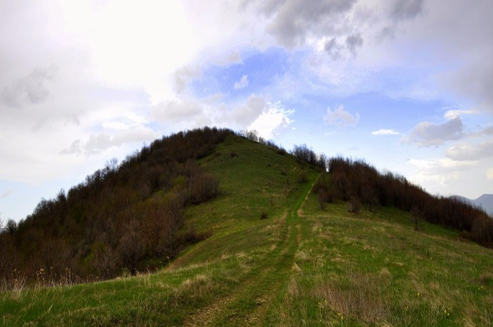
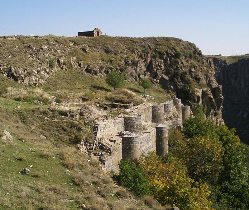
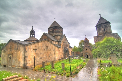
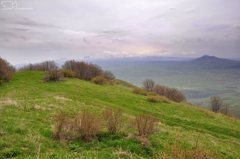
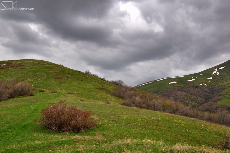
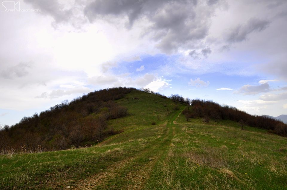
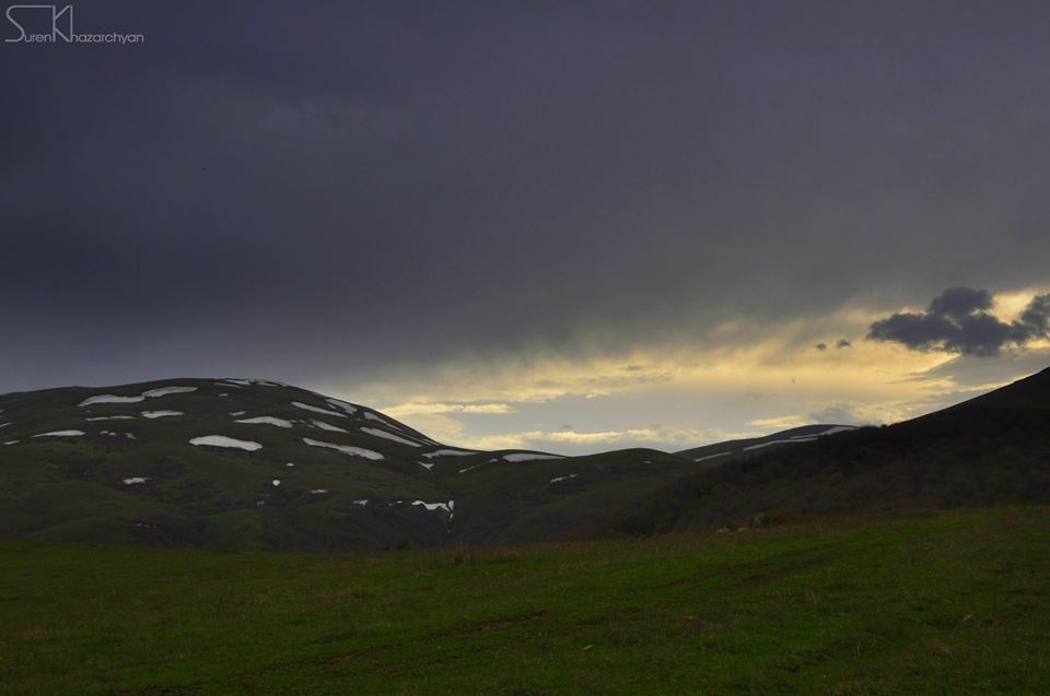
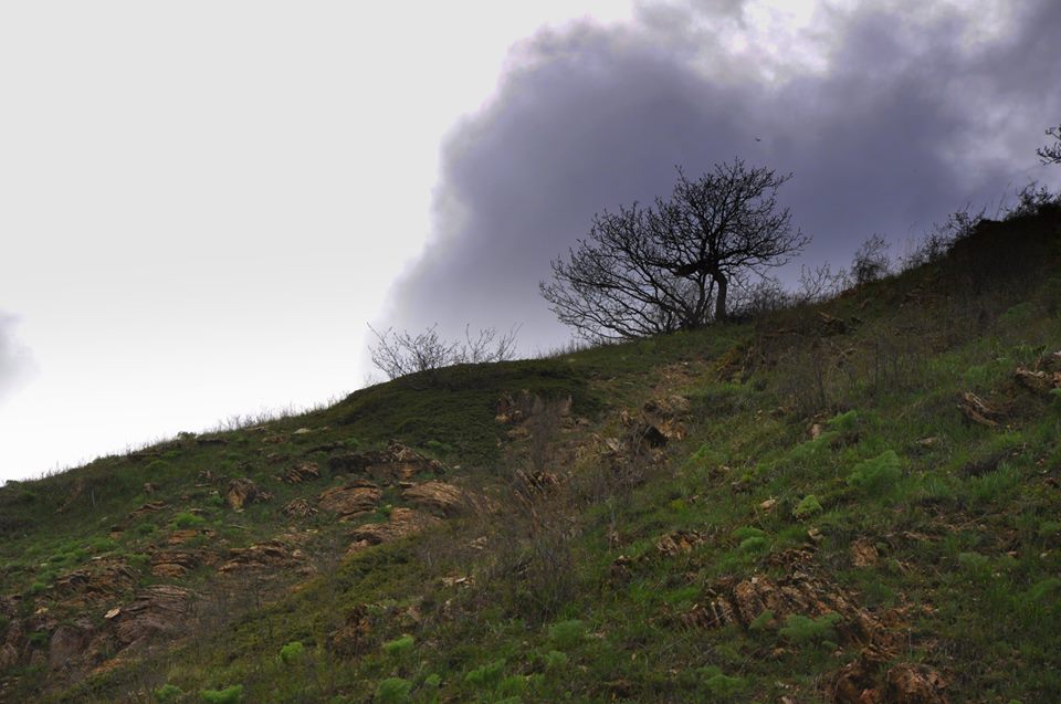
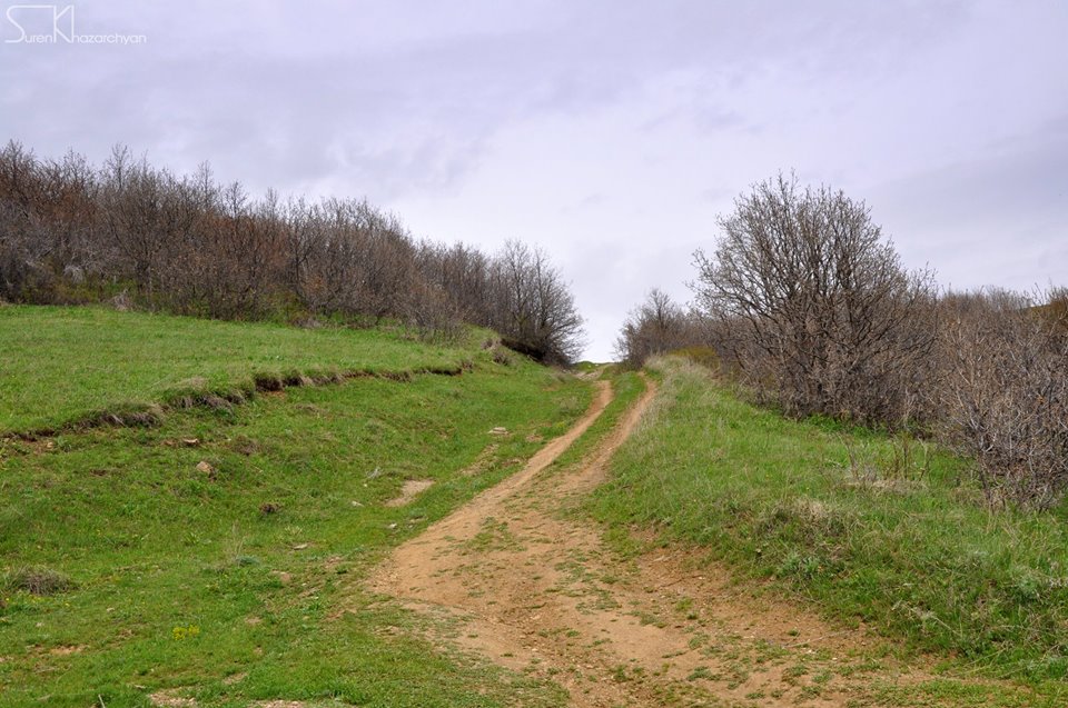
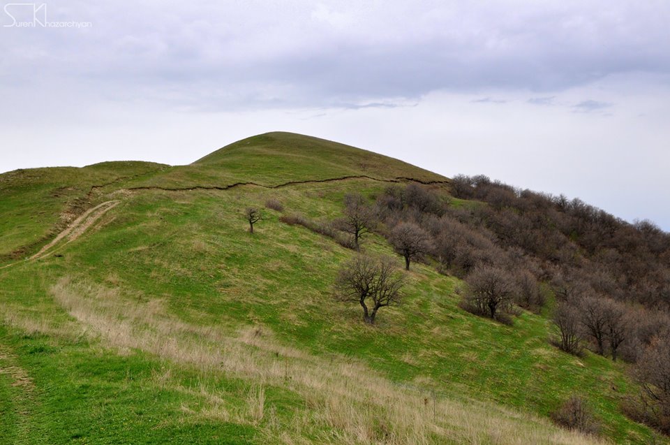
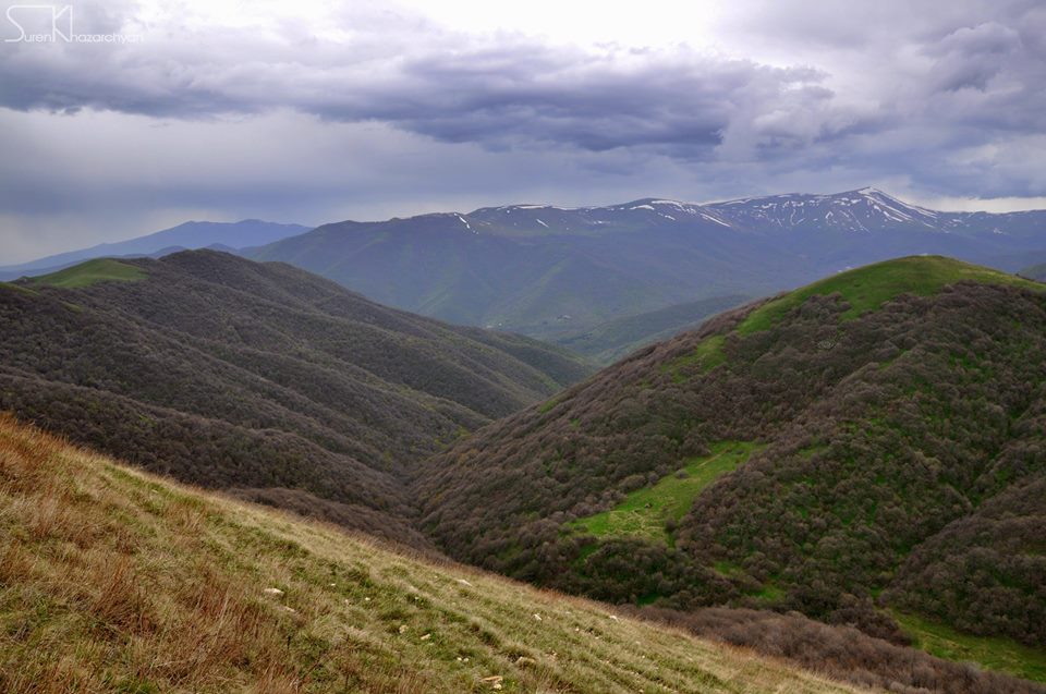
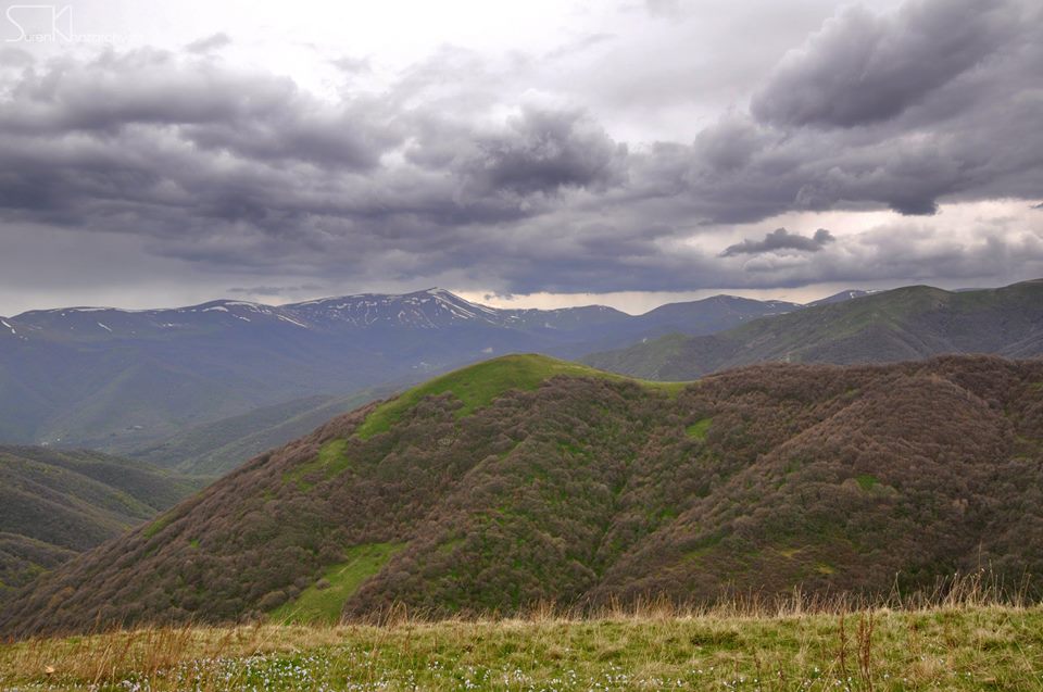
The trail starts from outskirts of Bjni town (Kotayk region) heading to Tsaghkadzor town (Kotayk Province), passing through green meadows and slopes covered by forests. The 3rd & last station of Tsaghkadzor ropeway (Ski resort) is located at the highest point of the trail. In the vicinity of the trail you will come across with several national & cultural monuments & attractions such as the Remains of Bjni Fortress (10-11th century) and Kecharis Monastery (13th century). Spectacular scenery is awaiting you especially during winter and spring.
How to get there?
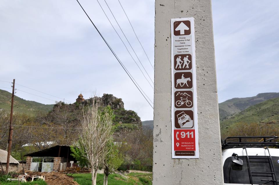
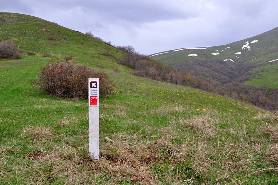
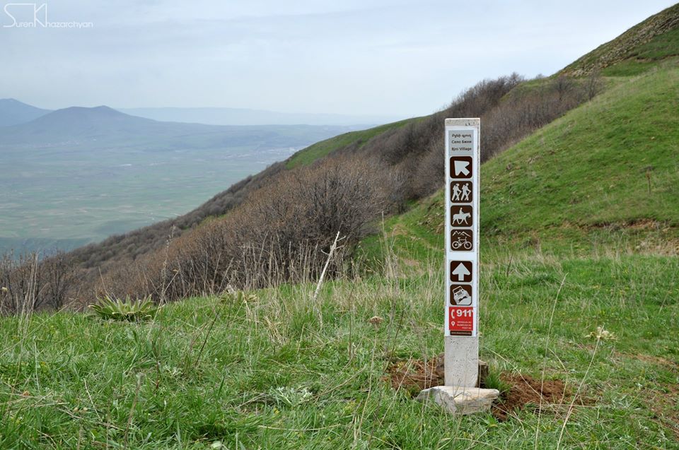
The 1st marking sign (post) is located in 40°27'35.1"N 44°39'03.9"E position. You will have to drive to the start point on a private vehicle or public transportation (A-275) via M4. H7 and H5 connection roads, for about 48 km (1 hour). Shall you want to pass through this trail backwards or instruct your driver to get to the end point, you will have to get to the last marking sign located in 40°31'51.0"N 44°43'29.5"E position, in outskirts of Tsaghkadzor town. Tsaghkadzor is around 60 km (1h15m) far from the Capital Yerevan; public transportation (A-278) and cross-county taxis will take you to Tsaghkadzor from Avetisyan Ave. Nersisyan str. crossroad (Raykom).
Trail characteristics
15.6 km / 9.75 mi
6 hours (hiking)
min: 1500m, max: 2406m, gain: 906m
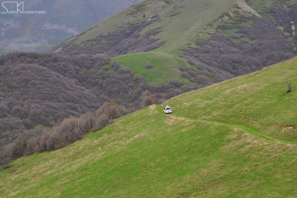
Hiking, mountain biking, jeeping, horse riding, snowshoeing, ski touring
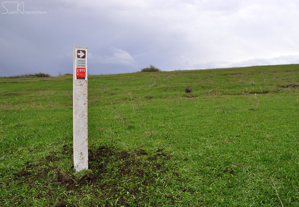
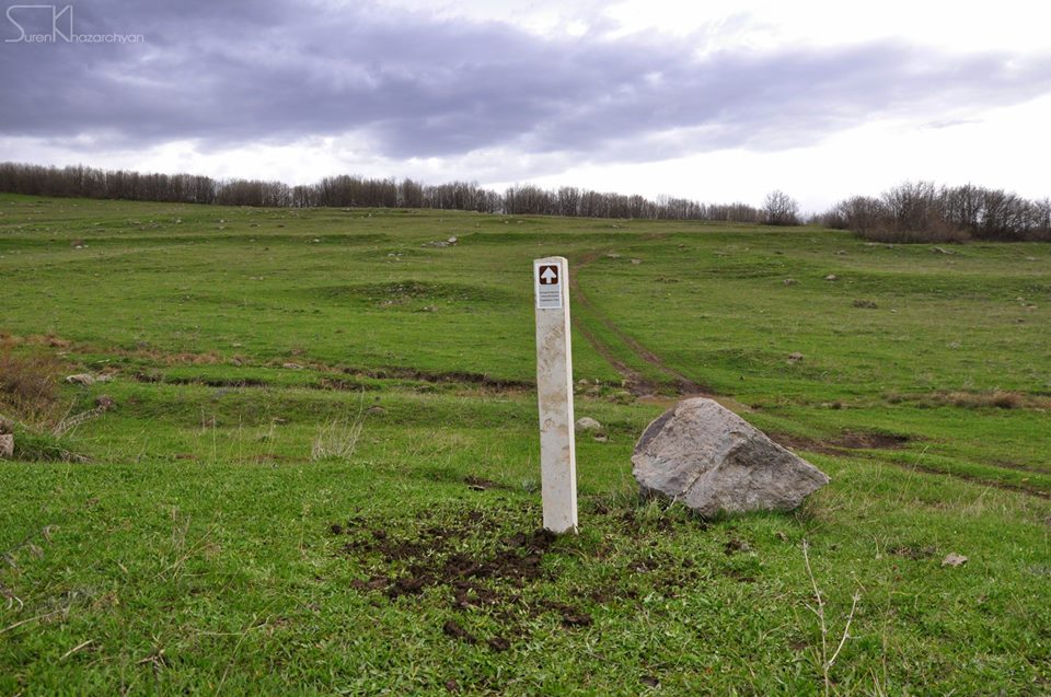
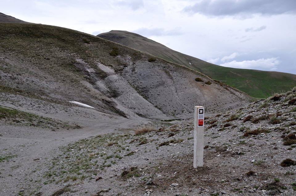
9 marking signs (posts)
What to do?
The trail is appropriate for hiking, mountain biking, and horse riding; in winter time you will also be able to snowshoe and ski tour on this trail. There is an alternative start point for jeeping which crosses the trail on the top point.
What to see around?
In the vicinity of the trail you will come across with national & cultural monuments & attractions listed below:
- Remains of Bjni Fortress (10-11th century)
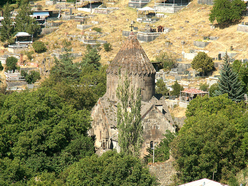
- Saint Astvatsatsin church (10th century)
- Saint Gevorg church (13h century)
- Saint Sargis church (7th century)
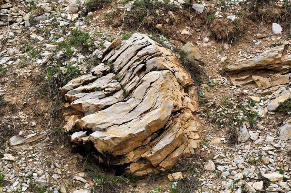
- "Hole stone" geological natural monument
- Kecharis monastery (13th century)
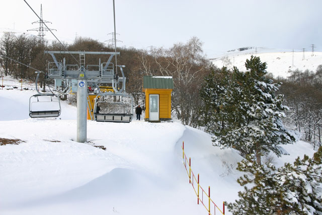
- Ropeway of Tsaghkadzor (Ski resort)
Where to stay?
Camping around on the slopes is a good option within this trail, considering the availability of water streams all way round the trail. Moreover, there are several accommodation options in hotels and cottages in Tsaghkadzor.
Nearby destinations
Tsaghkadzor ski resort (The Ropeway of Tsaghkadzor) is the most popular nearby destination you might not miss to spend several days, especially in winter time.
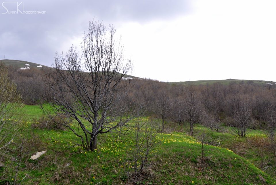
Flora & Fauna
Elevation profile
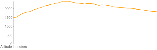
Photo album
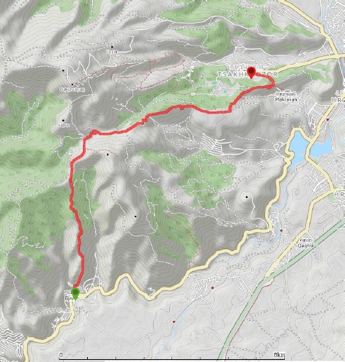
GPS track
Follow the GPS track of this trail via the below map; however, keep in mind to consult with local guides before heading to the trail.
;
Credits
Trail marked by AHA Armenia
Photo credit: Suren Khazarchian
Information generated by: Hikers.am