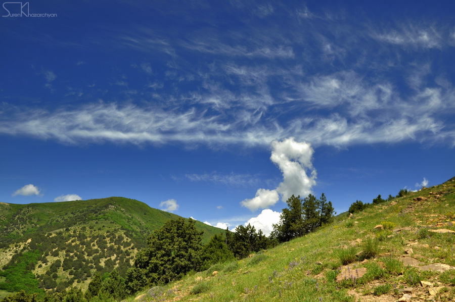
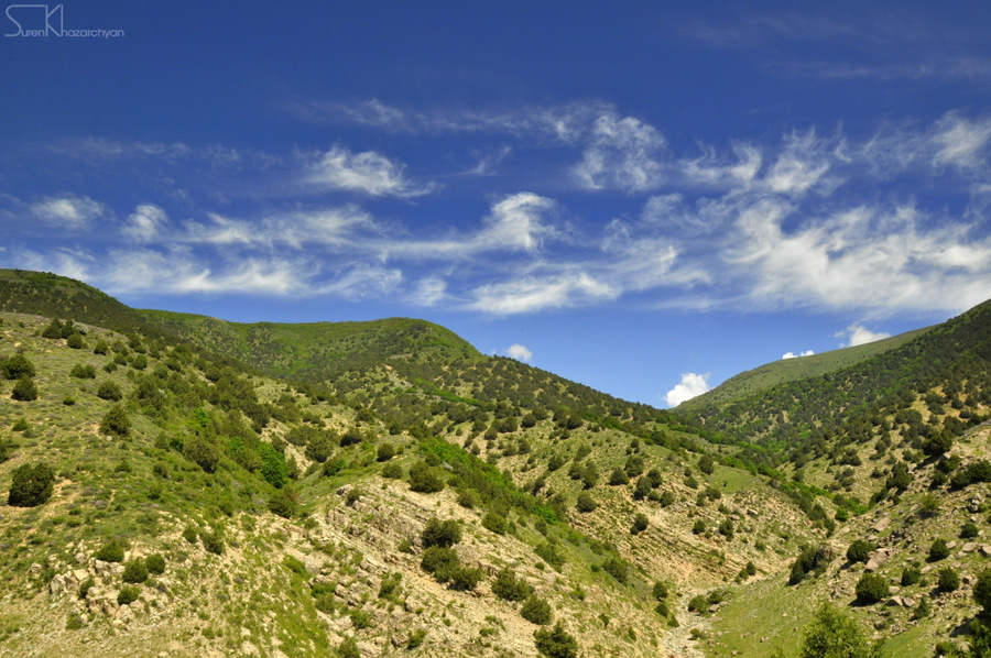
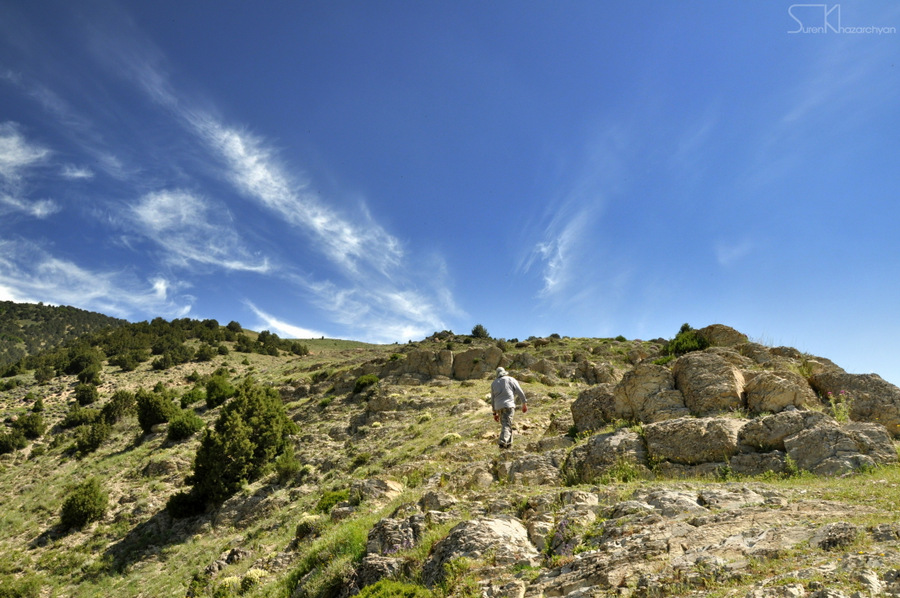
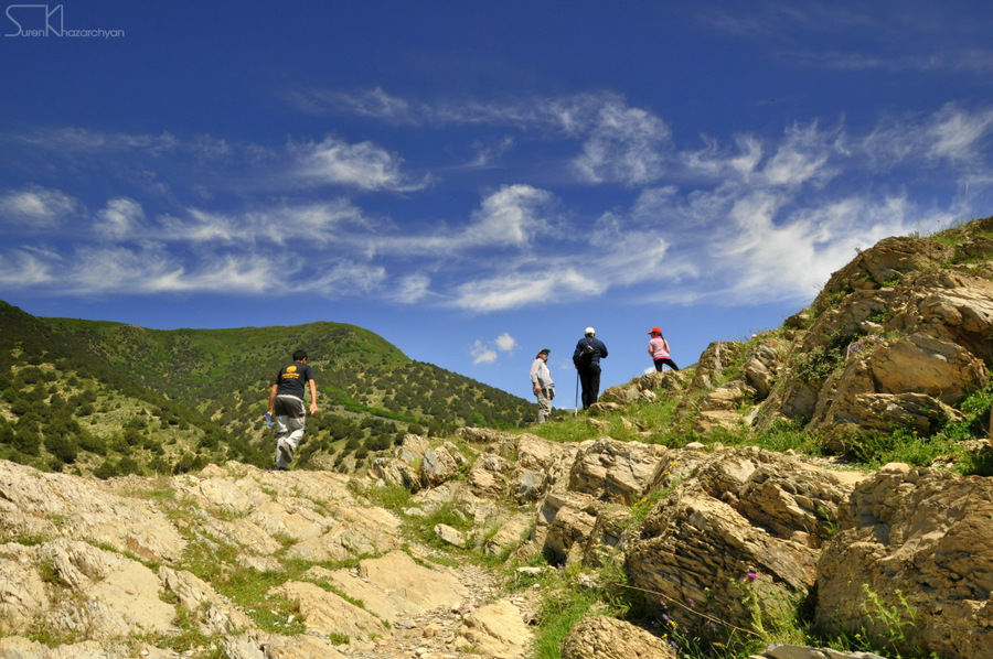
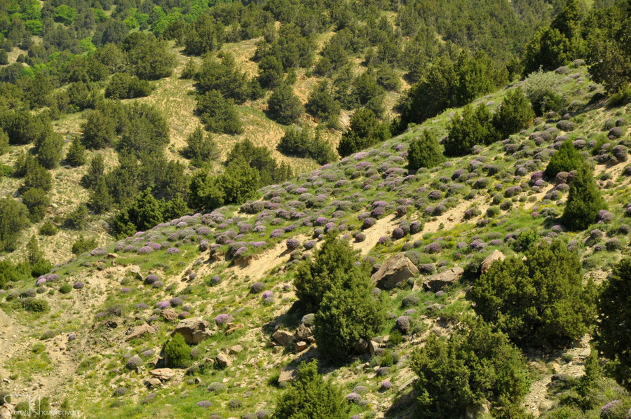
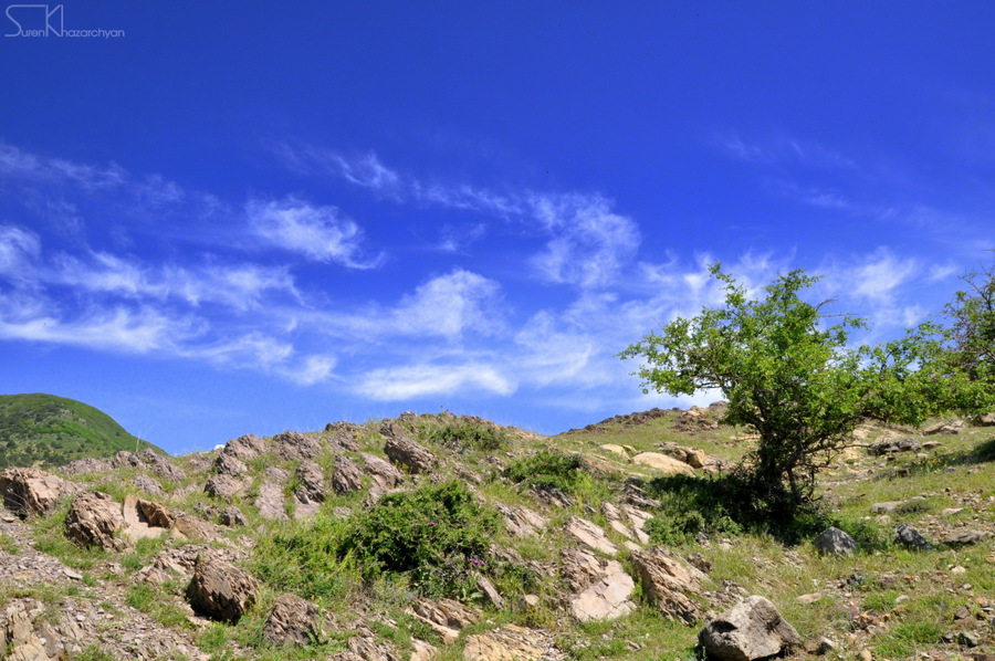
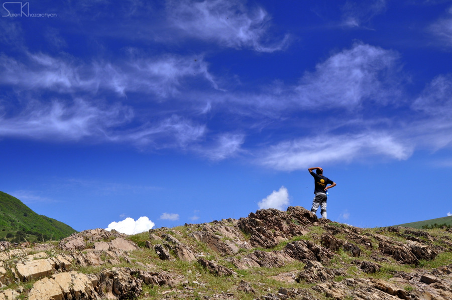
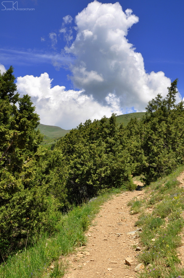
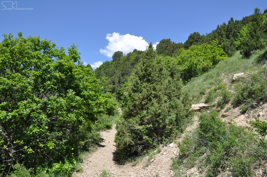
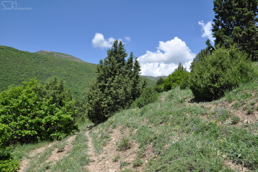
The trail starts from Solak village (Kotayk province), heading to Bjni town (Kotayk province). The trail is categorized as medium-difficulty and passes through green meadows & slopes.
Mayravank Monastery Complex is located on the trail, 3 kilometers out of Solak village. The Complex was founded in 7th century by Hovnan Mayravanetsi (Mayragometsi), while St. Astvatsatsin Church was built in 12th century.
The church is listed as a protected historic & cultural monument by Government of Armenia.
The trail is appropriate for hiking and snowshoeing in winter time.
How to get there?
The trail starts from Solak village, about 45 km (55 minutes) from Yerevan, via M4 & H5 connection roads. The end of this trail is at Bjni town for about 48 km (1 hour) from Yerevan via M4, H7 and H5 connection roads.
Trail characteristics
10.67 km/ 6.63 mi
1 hour (hiking)
min: 1501 m, max: 2207m, gain: 706m
Hiking, snowshoeing
8 marking signs (posts)
What to do?
The trail is appropriate for hiking and snowshoeing in winter time.
What to see around?
Within and in the vicinity of the trail you will come across with cultural monuments & attractions listed below:
- Mayravank Monastery Complex
Where to stay?
To be updated shortly
Nearby destinations
There are several destinations and hiking trails in the region; it worth you spend several days in the region.
- Bjni to Tsaghkadzor trail
- Lake Sevan
- Mt. Gutanasar
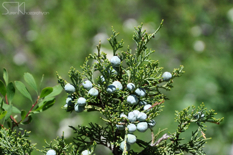
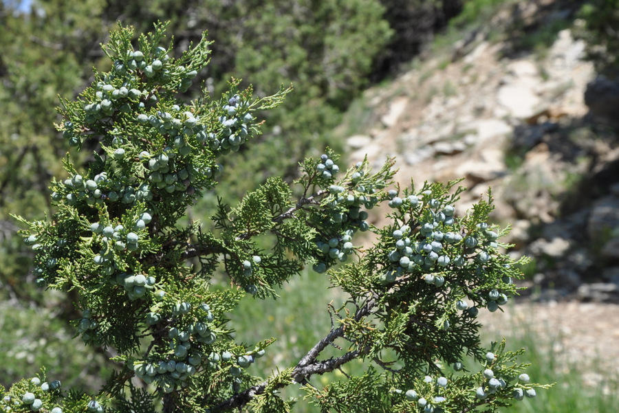
Flora & Fauna
Elevation profile
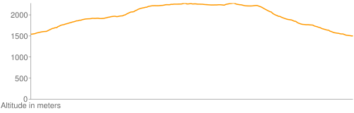
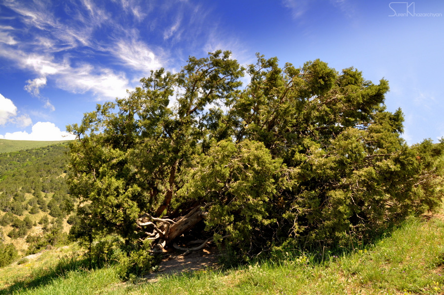
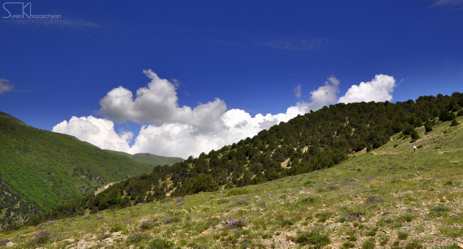
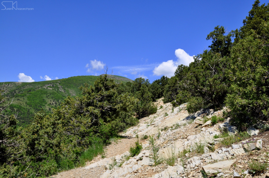
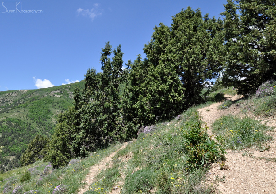
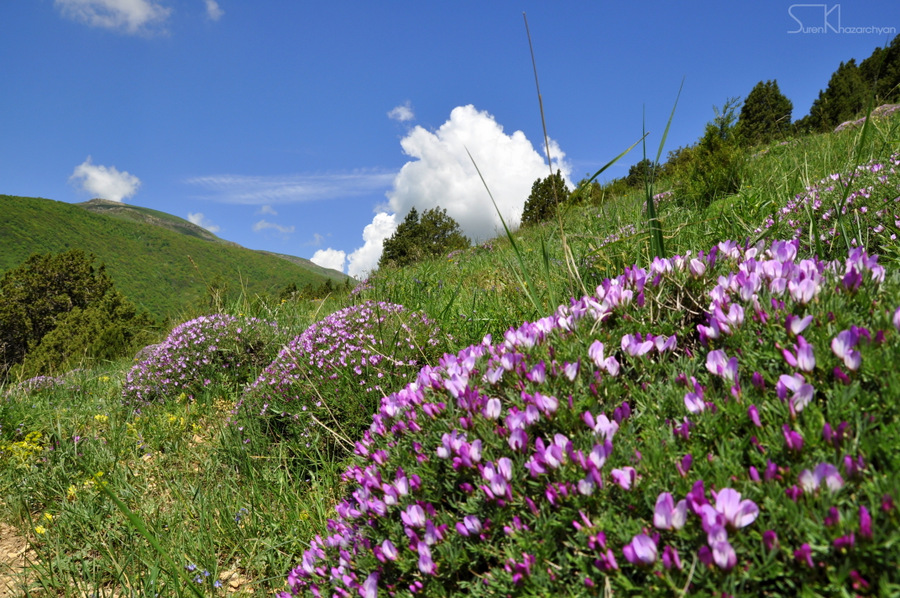
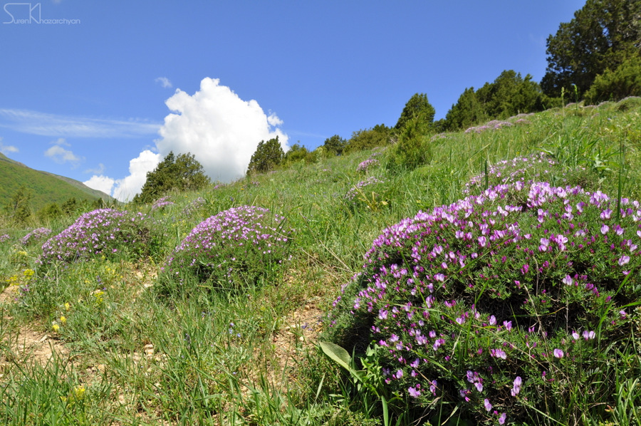
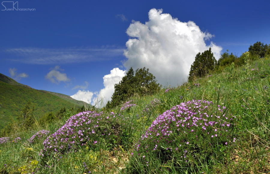
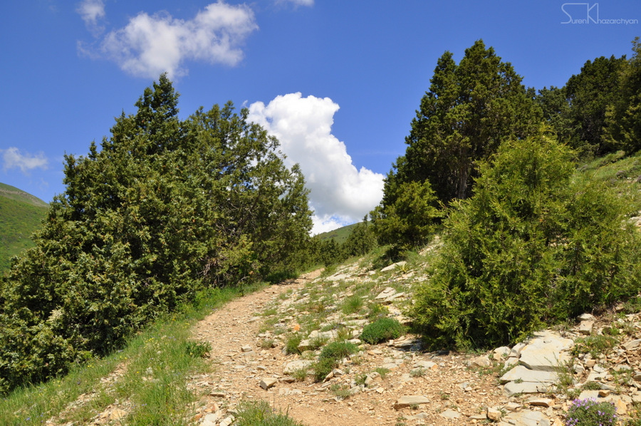
Photo album
GPS track
Follow the GPS track of this trail via the below map; however, keep in mind to consult with local guides before heading to the trail.
Credits
Trail marked by AHA Armenia
Photo credit: Suren Khazarchian
Information generated by: Hikers.am