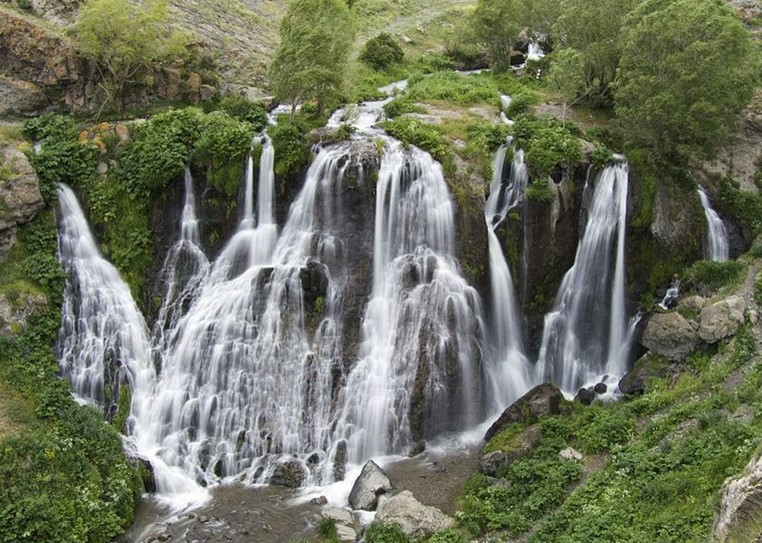
Shaki (18 meters high) is a “hydrological monument” located on Shaki Stream of Vorotan River in Syunik Province, 3 km North-West of Sisian Town. The Waterfall is also registered in the list of “Specially protected areas”.
The terrain includes a deep gorge with high cliffs and caves, where you might find remains of civilization dated the Paleolithic Period.
The Waterfall:
Location: Syunik Province, 3km North-West of Sisian
Height: 18 meters
Hiking trail:
Start point: H44/Sisian roadway (39.54756506681101, 46.00444400307319)
Distance from Yerevan: 202 km, 3.5h via E117
Trail length: 1.8 km
Total Ascent: 85 meter; Total Descent: 42 meter
Max Elevation: 1659 meter; Min Elevation: 1611 meter
Nearby destinations:
